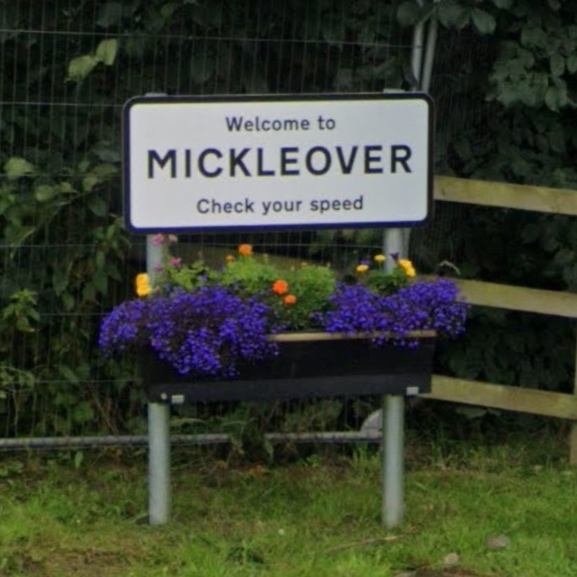
On the evening of 10th August 2023, a group of DCG members congregated outside The Quad on a hot Thursday evening intent on riding our inaugural investigative ride to highlight the positives and negatives of cycling infrastructure in Derby via a circular cycle route to Mickleover.
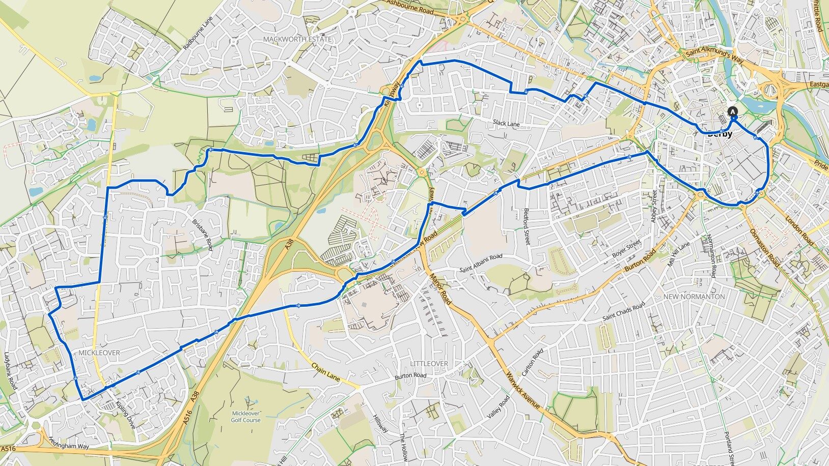
A bit of background to these rides can be found here:
Victoria and Albert
We rode along Albert Street and Victoria Street enjoying the quiet mostly traffic-free environment. The Wardwick took us onto Friargate, a busier road, where we used the cycle lane which was inadequate for riding two abreast.
High road or low road?
The cycle lane becoming narrower as the carriageway passes central reservations. Some members rode along the shared path which undulates over tree roots and crosses side road, where vehicles have priority. Although we rode along the cycle lane vehicles still past us perilously close, despite drivers having two lanes to use.
Turning left into Vernon Street, usually full of parked cars where caution is needed to avoid cars pulling out of their parking spaces. A dog leg to cross Uttoxeter Old Road using the shared crossing then on through New Zealand.
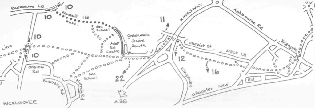
We stopped briefly at the junction of Stanley Street and Langley Street to consider why the advised route would descend to the junction with Radbourne Street necessitating climbing back up. An alternative route could have continued along Stanley Street and then taken Cobden Street or Heyworth Street would have avoided the climb up Radbourne Street.
A38 Slip Roads
Around the corner the cycle route crosses Raleigh Street, here vehicles leave the A38 often at speed or accelerate to join the A38, pedestrians and people on bikes have to negotiate the crossing whilst drivers are concentrating on their manoeuvre and not other road users. For people on bikes this is a two stage crossing where they have to look backwards over their shoulder, where trees partially obscure visibility or when negotiating the junction in the other direction the visibility is obscured by a garden hedge. An alternative could be to use Lyttleton Street to reconnect with Stanley Street, so avoiding crossing Raleigh Street.

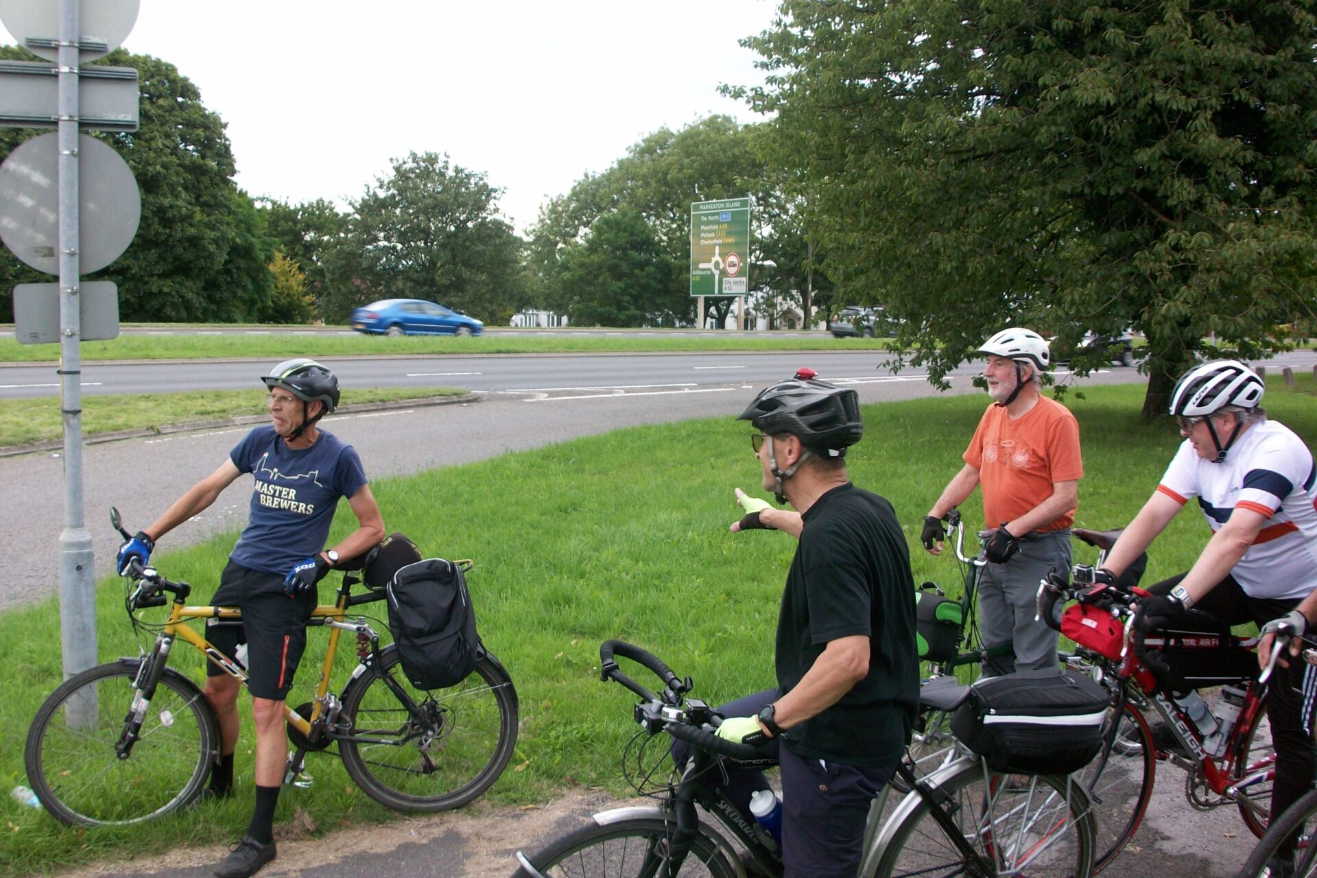
These slip roads are to be removed as part of the grade-separation of the three roundabouts as part the the A38 Derby Junctions scheme.
We used the shared path under the A38 before joining the recently upgraded path through Mackworth Park. A good smooth surface with a reasonable width and obstacles such as bollards now removed for improved access. Several of the group commented that during autumn and winter fallen leaves make the surface very slippery and potentially dangerous. Some people indicated they would not use the path after dark with limited visibility, giving rise to concerns with personal safety. The path was previously good so the question must be was this the best use of money?

Close to the top of the hill, adjacent to a small bridge, we stopped to observe the shared path that is being constructed through the new housing development, peering over the hedge we could see the fresh asphalt surface disappearing over the brow into the construction site.
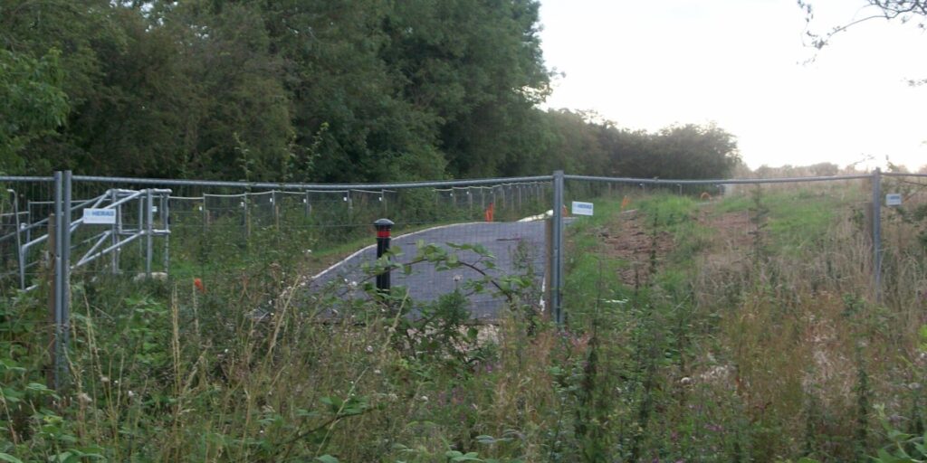
The paths are to be connected to provide a route through to Station Road and access to the Greenway.
We stopped on Station Road at the location of the proposed shared crossing, intended to provide a connection between the shared path through the new housing development and the Greenway. Currently there is only an uncontrolled pedestrian crossing dropped kerb and small temporary-looking central refuge, much too small for a bicycle.
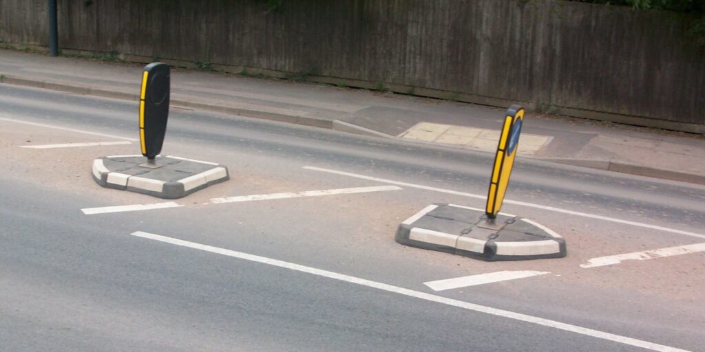
This crossing does not align with the new shared path and the Greenway, where the crossing would logically be located. Crossing Station Road has long been a challenge for both pedestrians and people on bikes as vehicles travel at speed on a comparatively narrow road, the provision of a controlled shared crossing will help many people accessing the Greenway.
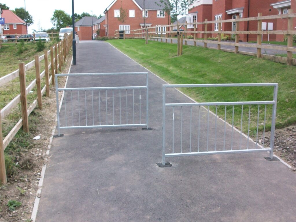
We headed towards Mickleover centre along Station Road, the road surface rough and potholed making riding extremely uncomfortable and potentially dangerous if having to swerve aroundthem. We turned into West Drive to rejoin the recommended cycle route, also identified as route 66, which we followed to the centre.
Although the recommended route uses Western Road we chose to ride along Uttoxeter Road, a 40 mph road, that would potentially be used by people commuting by bike. During the evening the traffic was comparatively light but even so we experienced close passes by large vehicles who seemed to desperate to pass a small group of people on bikes.
At the controlled junction with Western Road we joined the shared cycle path, waiting our turn for the green man and bike to appear. The shared path ended on the far side of the A38 over bridge where we moved onto a mandatory cycle lane, defined by a solid white line which drivers should not cross but does not stop vehicles passing perilously close.
Four-Way Island
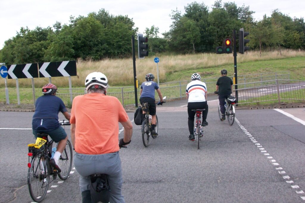
At the Hospital Island we rejoined the shared path to negotiate the cycle route across the island, having to negotiate four controlled crossings, each time waiting for our turn to proceed.
Manor Kingsway
A mixture of shared paths and low speed neighbourhoods kept us away from the busy Uttoxeter New Road.
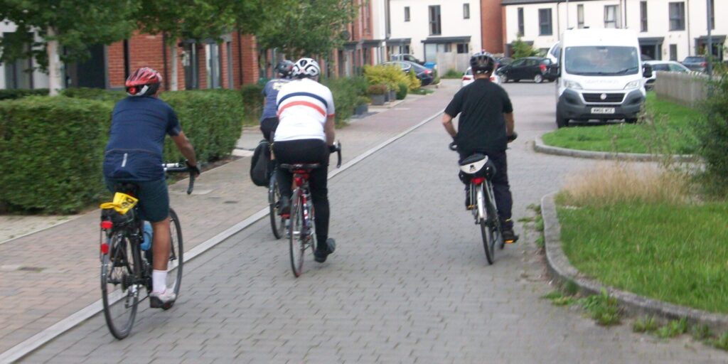
The alternative route to heading through the new development is along a “segregated” cycle way which is essentially a footway with a white line down the middle resulting in a narrow strip for walkers and for cyclists – Wholly inadequate for the footfall and speed & volume of road traffic.
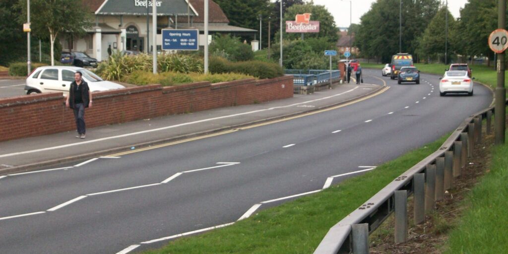
We rejoined at the junction with Kingsway and Manor Road and negotiated the controlled crossing where the central reservation has limited space for bicycles.
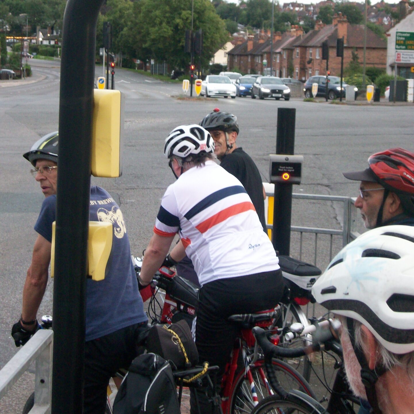
Cyclist can rejoin Uttoxeter New Road from a reservation but care is needed as drivers can use the left-hand slip lane onto Uttoxeter New Road without control signals. Joining the bus lane kept us separate from traffic. Provided there’s no bus bearing down on you, the wide buffer of the lane made the ride here quite comfortable.
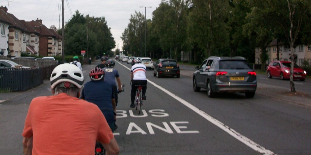
There is a cycle route on the opposite side of Uttoxeter New Road but multiple entrances to houses, allotments and Bemrose School make it disjointed and getting there required a further three crossing phases at the traffic lights.
At the controlled junction with Uttoxeter Old Road we crossed the traffic to enter Hoult Street, greeted with a short steep incline.
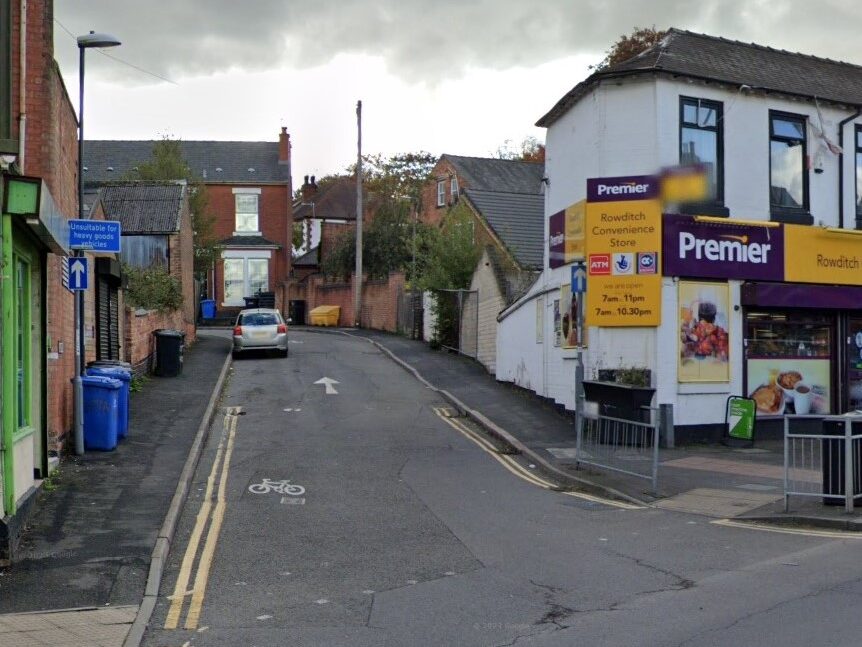
We then followed the recommended route, which was not always clear as some locations cycling appeared to be permitted in one direction only. (The route in reverse takes you down Boundary Road and onto Uttoxeter New Road)
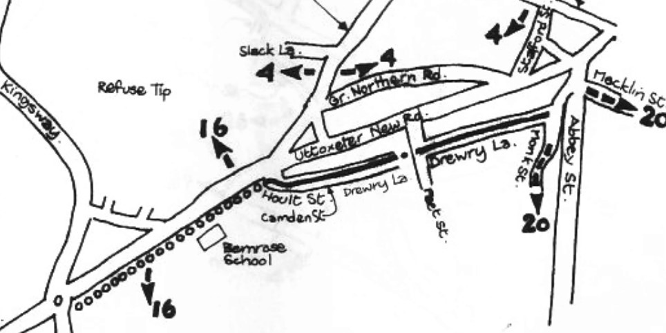
The appearance of bicycles painted on the road informed road users this was a recommended cycle route (despite the signs to the contrary) which eventually crosses Peet Street and continues down Drewry Lane.

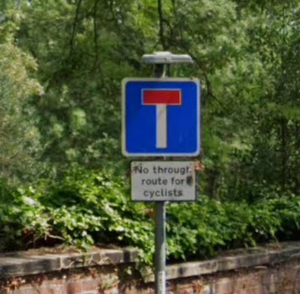
We emerged onto Mercian Way to use the dedicated cycle paths, keeping us away from the busy road, but again we had to use more controlled crossings at every junction, waiting patiently for vehicles to stop.
Taking Babington Lane, a one way road with a painted contraflow cycle lane, we rode to The Spot to view the revised road system being installed along St Peters Street, including cycle lanes and revised bus stops. It’s questionable why such major restructuring is necessary when a maximum speed of 20 mph, or lower, and making vehicles guests would allow for most modes to move in comparative safety.
We slowly rode back to the Quad for a discussion of what we had seen. Most people found the cycle infrastructure disjointed and inconsistent. Some elements of the route had clearly been designed by drivers who had no experience of riding a bike, introducing unnecessary hills and not being direct.

