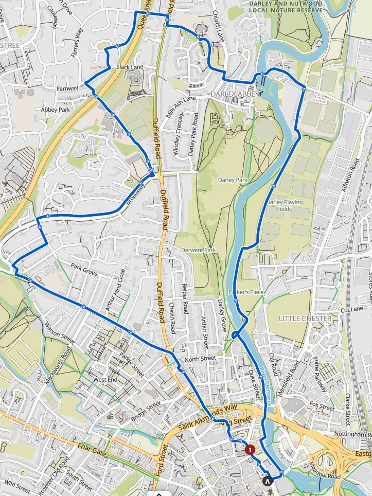
On 31st August a group of DCG members gathered for our fourth and final evening ride around some of the lesser known routes around the suburbs of Derby. A short ride to ensure we could complete the route in daylight.
A background to the investigation rides can be found here:
We followed the riverside path north, circumnavigating the closed section, under St Mary’s Bridge, by taking Sowter Road then crossing the junction with Duke St and back onto the riverside path.
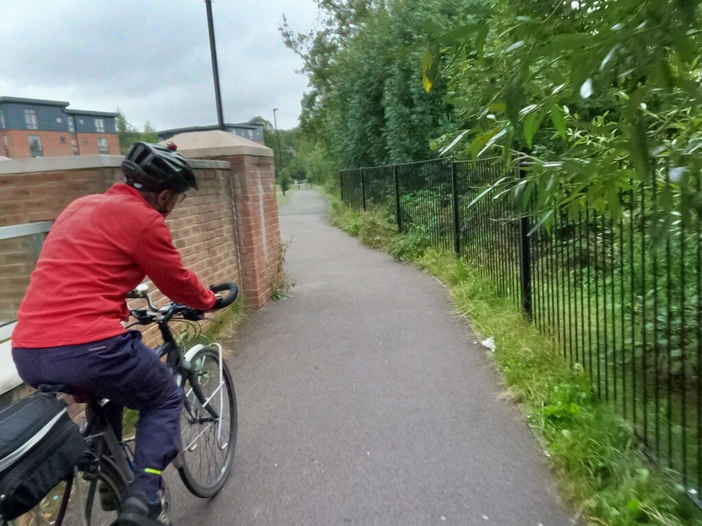
Crossing the River Derwent on Handyside Bridge we rode along the shared paths through Parker’s Piece and Darley Playing Fields, where dogs were exercising their owners before sunset.
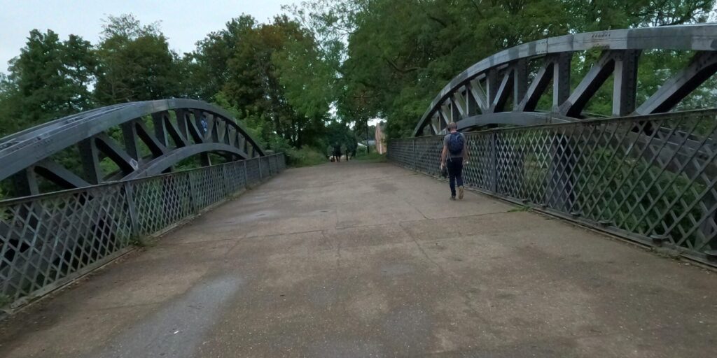
Leaving the park, all members of the group clanked over the metal joints of the footbridge.
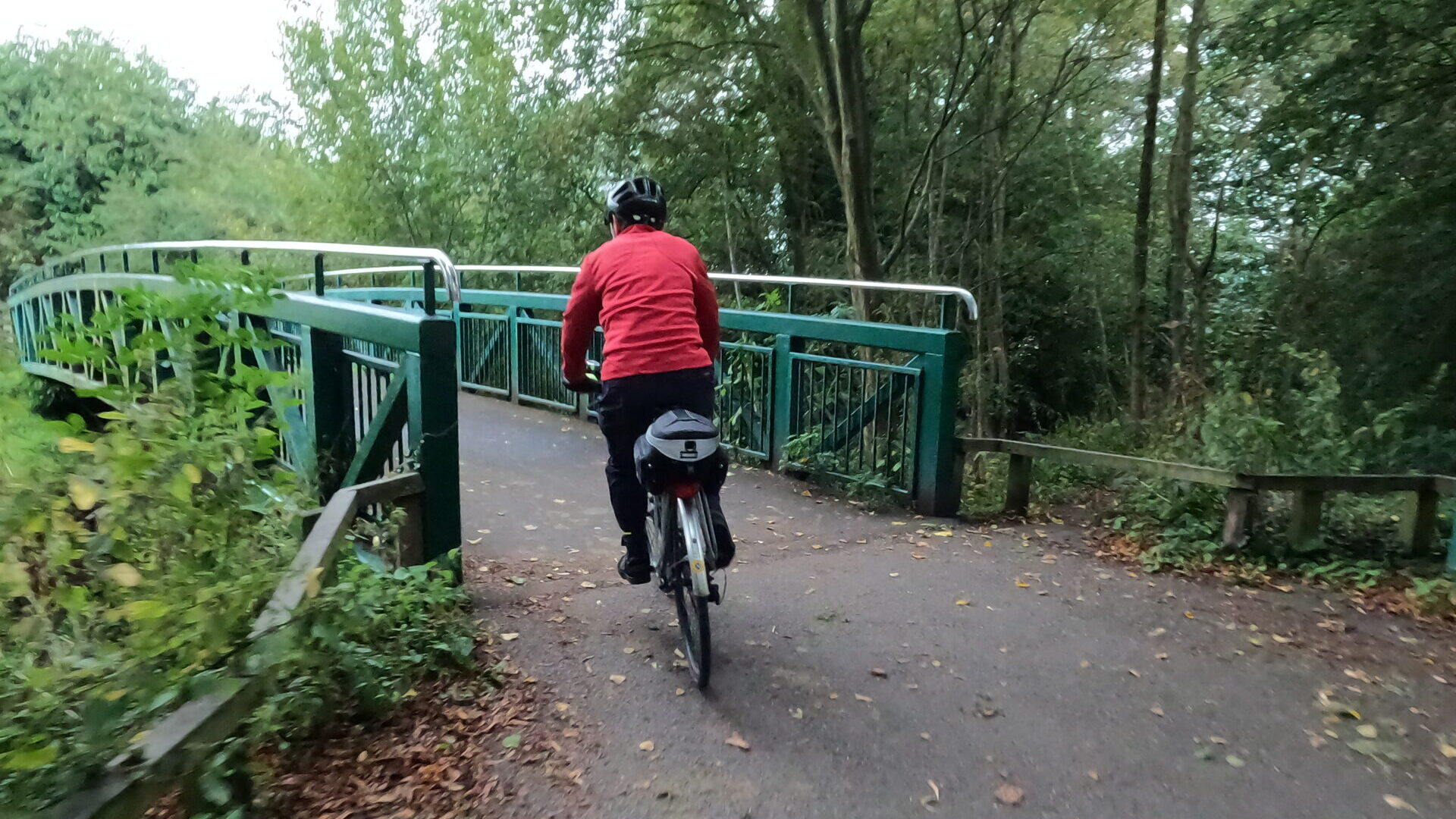
Riding slowly over the speed bumps in Darley Abbey we came to the temporary shared-use bridge over the river, that is becoming a permanent feature of this historical village.
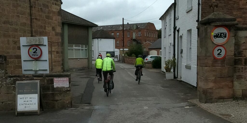
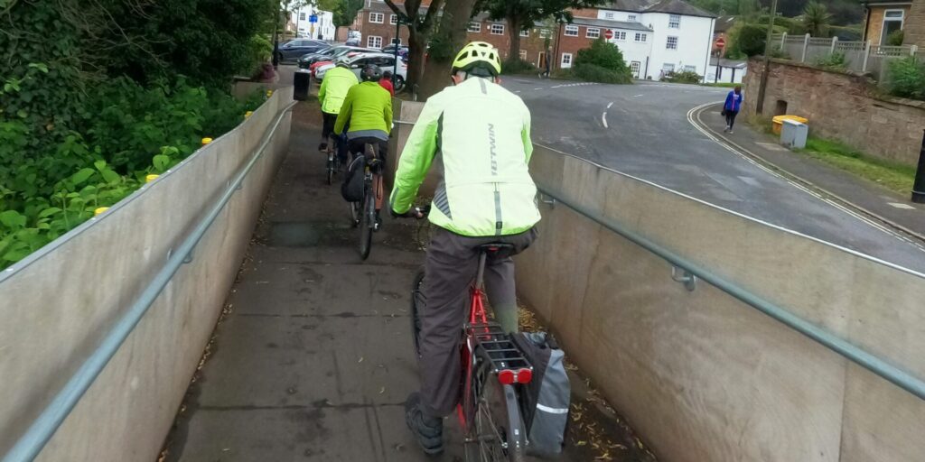
We slowly managed the twisting access ramp, crossing the river and exiting onto Old Lane.
1983 Plans
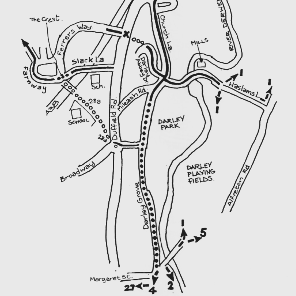
Our route followed parts adopted in the 1983 plans, including route 1 which is essentially the riverside path we have today.
Now for the tricky bit
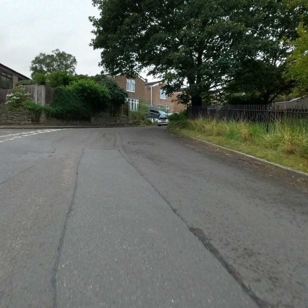
Riding up hill through the village we took Darley Abbey Drive, rising steeply we pedalled in low gears to the top. Presumably this part of route 66 had been designated by someone in a car or person on a bike riding the other way down hill.
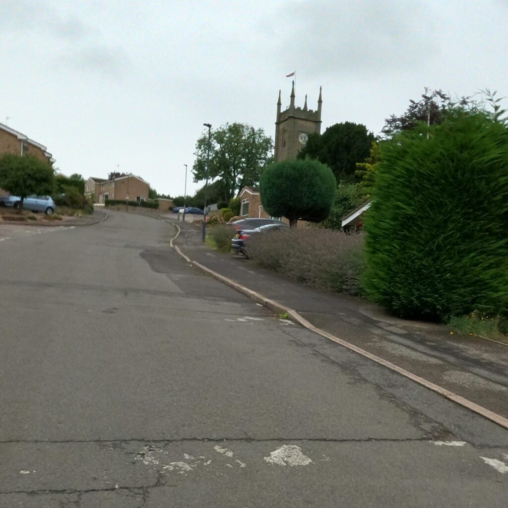
Up the Garden Path
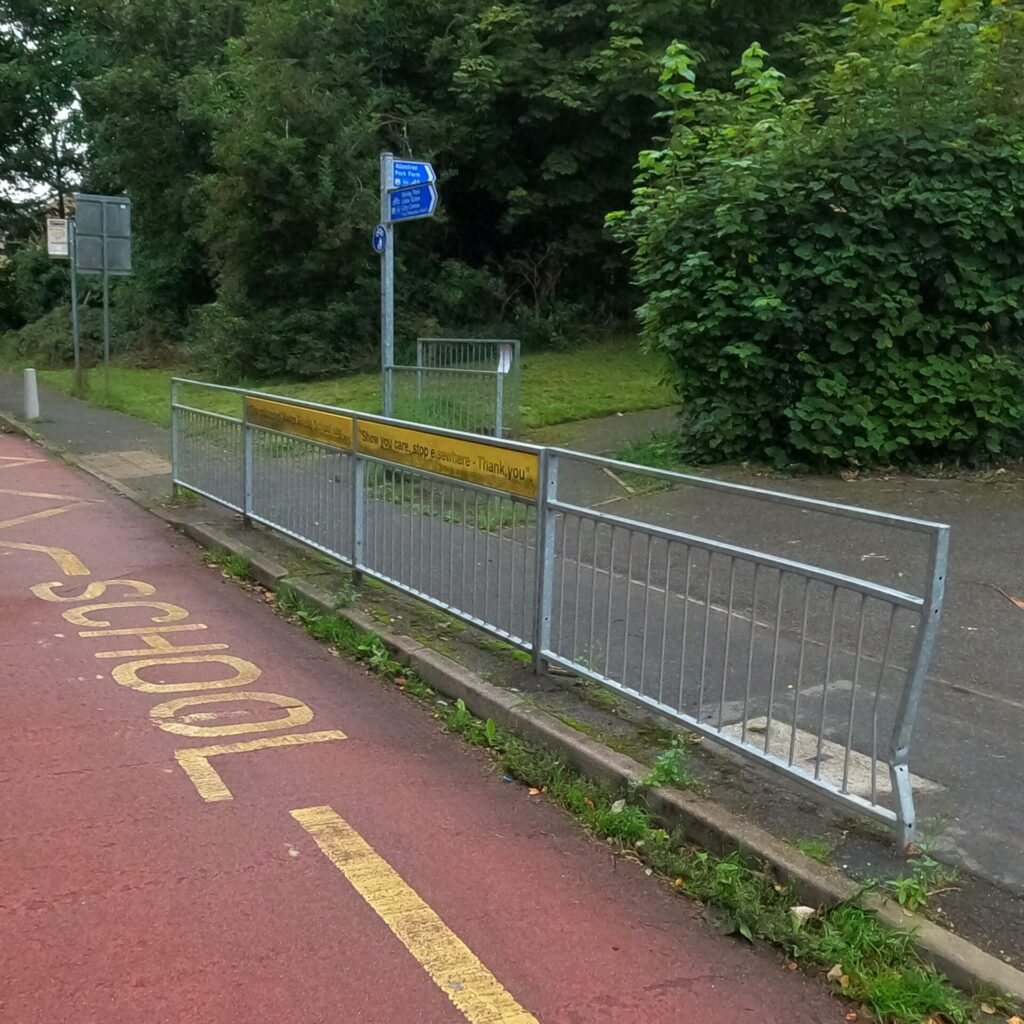
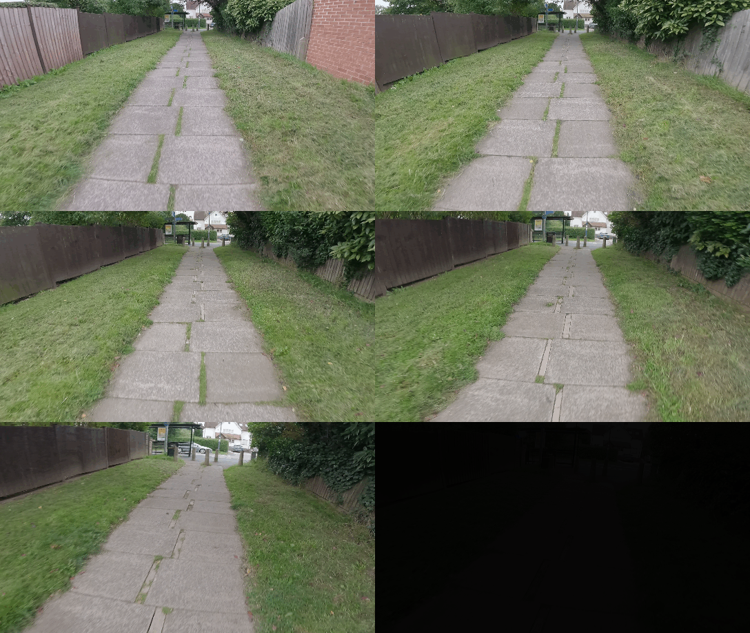
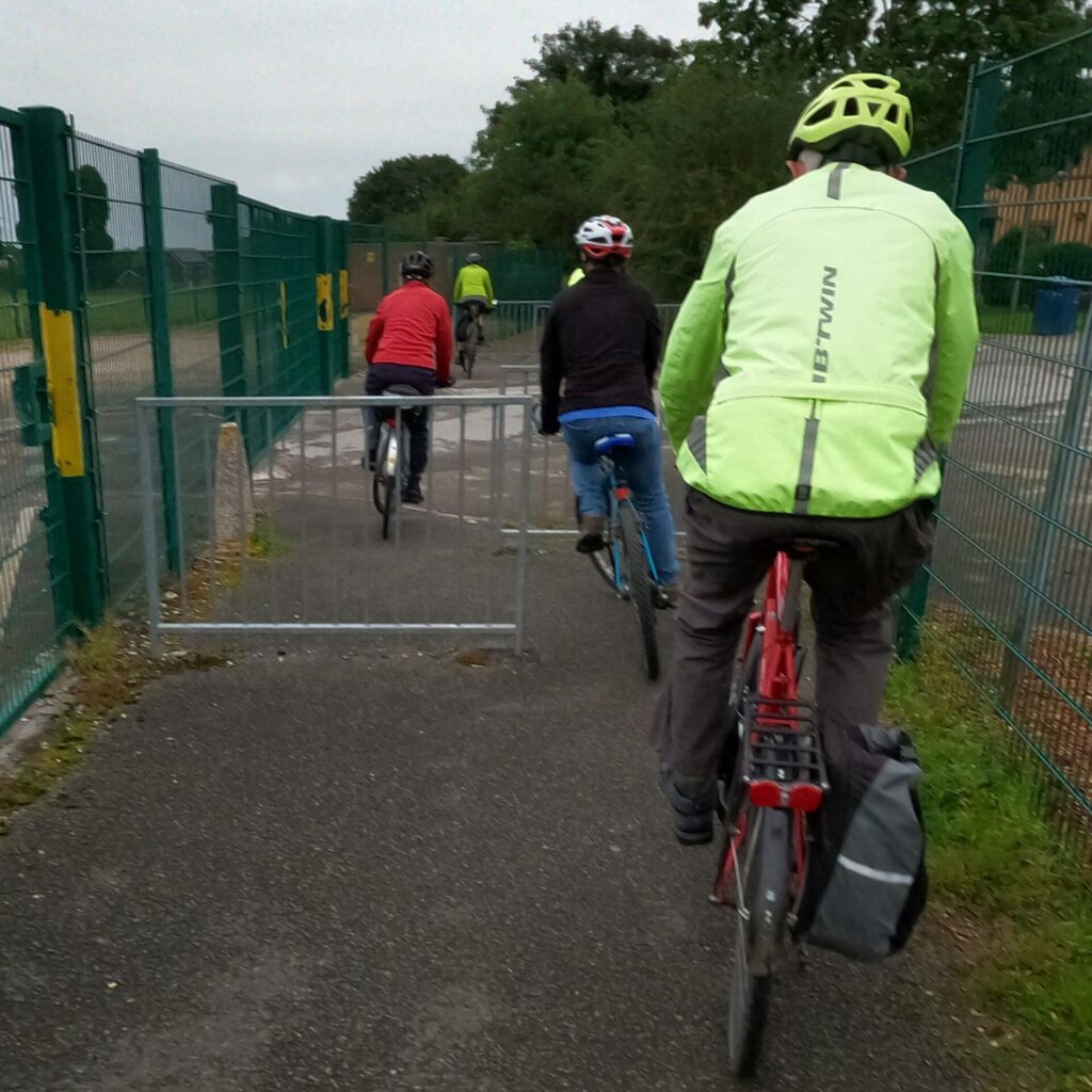
We took the shared path to Duffield Road, negotiating chicane barriers and a broken irregular surface which detracted from a useful traffic free route.
The gap in the middle of the pavers widens at a greater rate than the mid-Atlantic ridge.
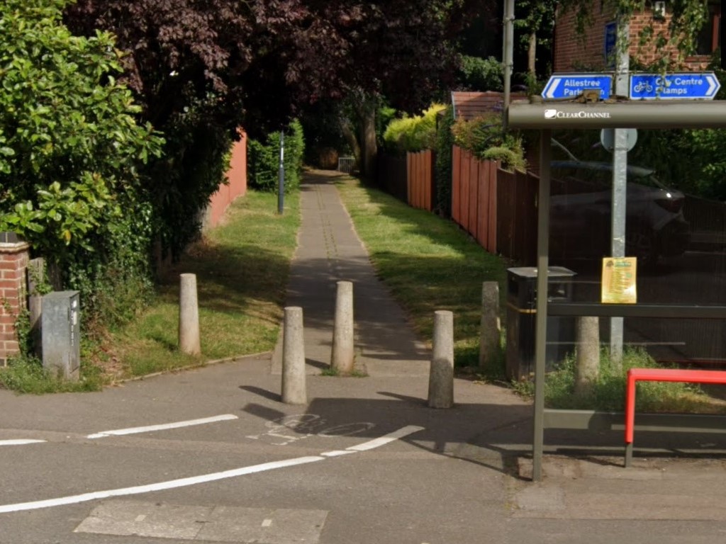
At the controlled crossing on Duffield Road we waited interminably for the lights to change and the traffic stop, why is it necessary to wait so long for a crossing that has no other regulation other than for pedestrians and people on bikes.
A short shared path brought us onto Ferrers Way, just off the junction.
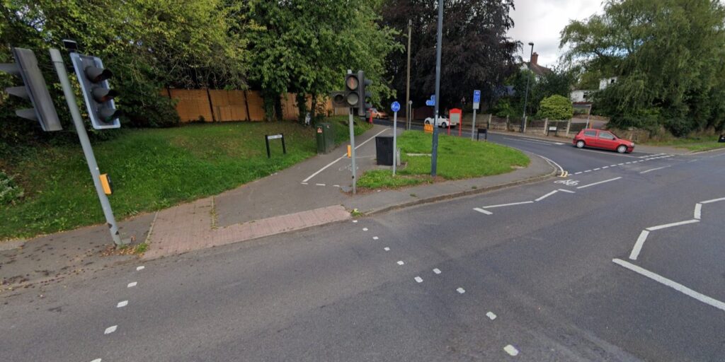
Crossing the A38 we looked down on traffic speeding past in tumultuous din. Taking the first left we rode along Finningley Drive then Wickersley Close where a path took us to Slack Lane, another bridge over the A38 – We didn’t cross at this point but Slack Lane is certainly an unexploited route that could form part of a strategic network of cycleways into Allestree.
Passing through a chicane barrier we took a path to The Crest and after 100 m we followed the footpath sign. Through another chicane barrier and over the A38 pedestrian bridge.
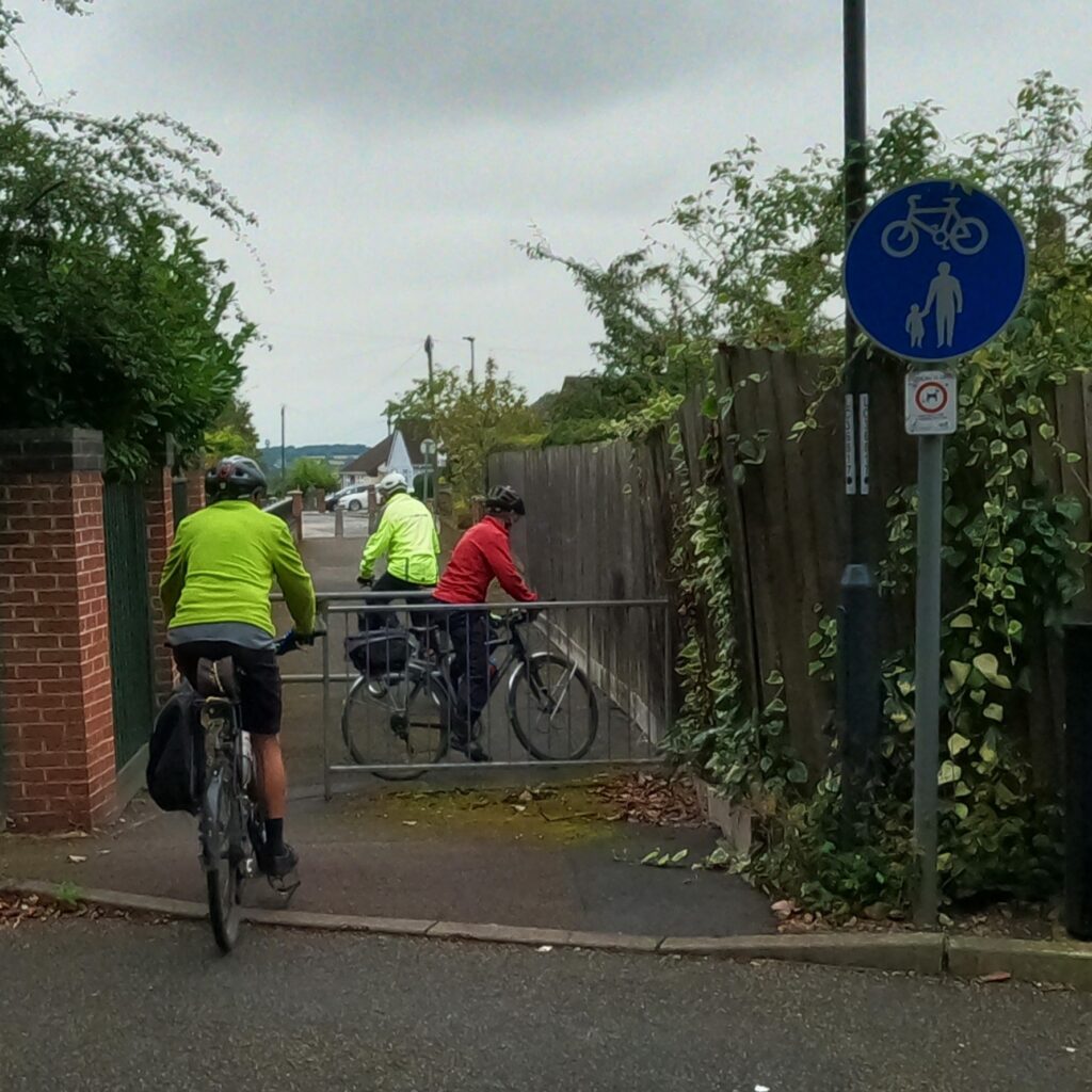
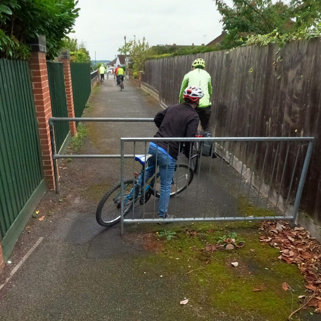
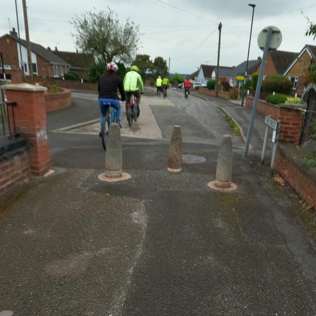
Passing through St Benedicts Academy, through two more chicane barriers, to emerge beside The Broadway pub.
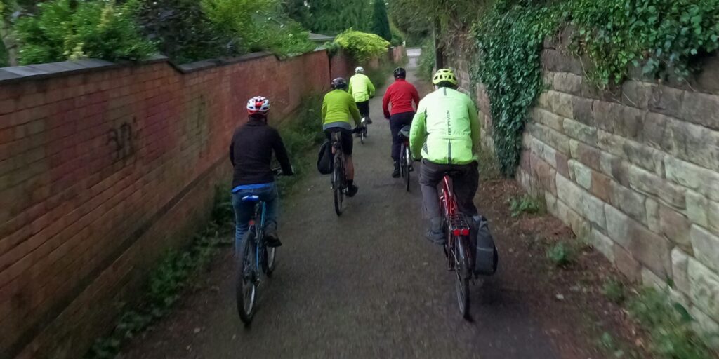
This path potentially offers a safe, traffic free route between Allestree and the city centre, the surface is poor and overgrowing vegetation impinges on the effective width of an otherwise good piece of infrastructure.
Return leg.
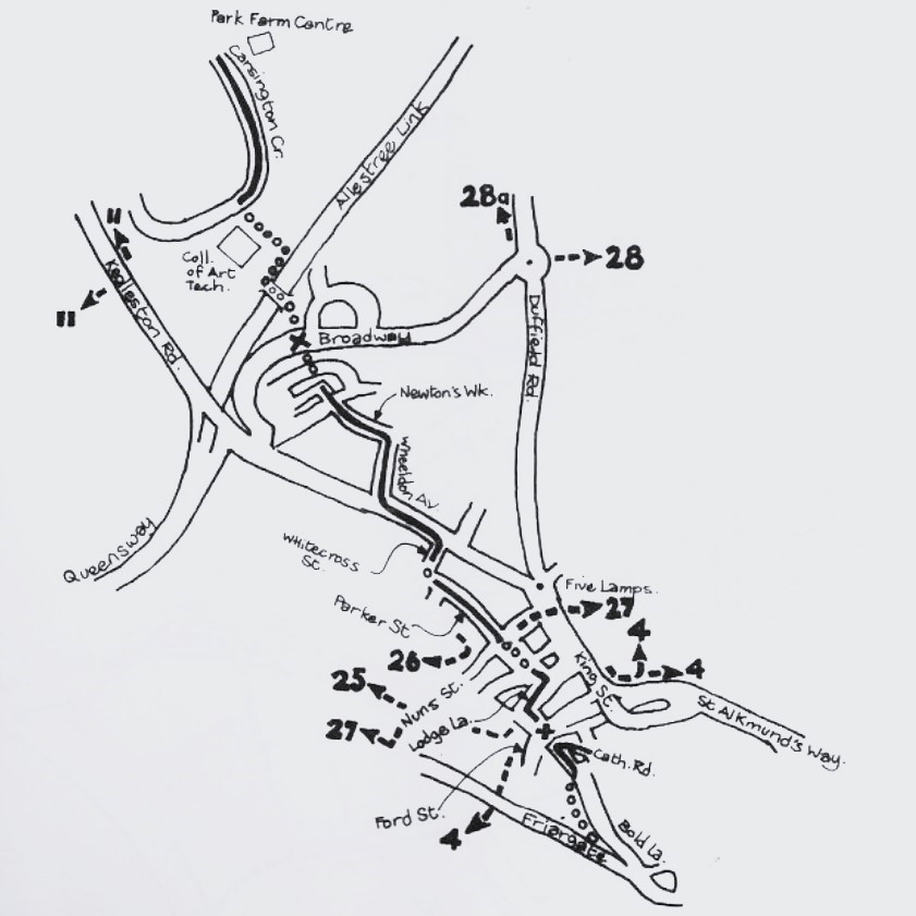
The return leg followed the 1983 plans from Broadway up until reaching Kedleston Road where we continued on towards Five Lamps and Duffield Road back into town.
We rode along Broadway on a short section of shared path which returned to a pedestrian only pavement. Yet the generous verges offered plenty of space for a shared path, even the existing pavement here is more generous than many shared paths in the city!
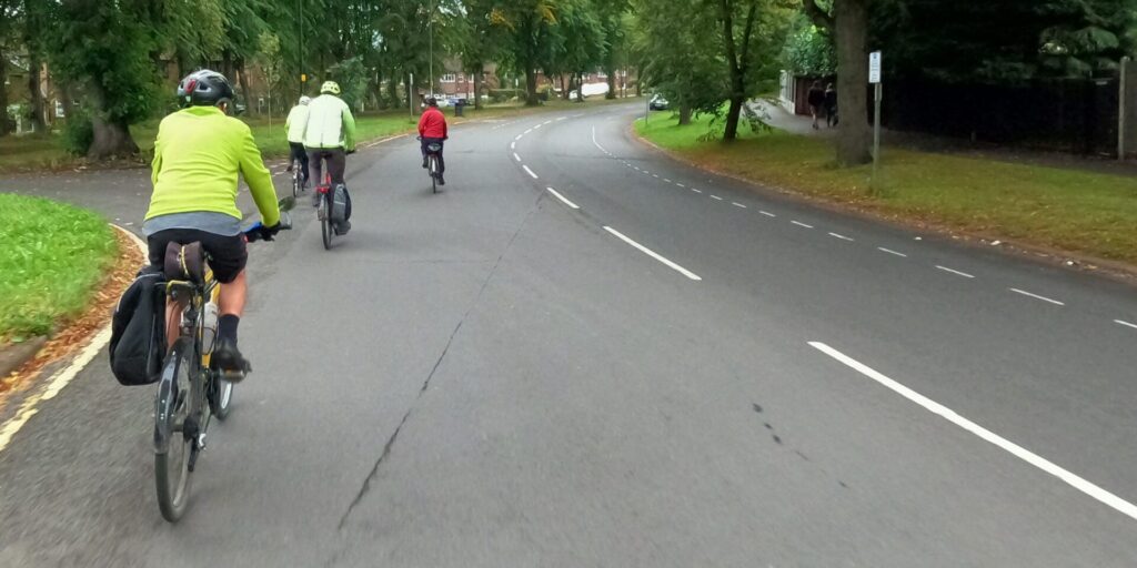
We pedalled down Broadway until the toucan crossing where a shared path took us through to Sherwin Street and Newton’s Walk.
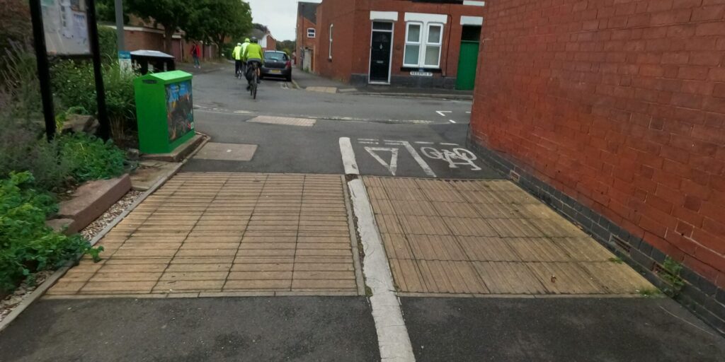
Newton’s Walk
A ride along Newton’s Walk – A little back-street gem but may feel less safe after dark. Nevertheless, it’s very handy cut through spoilt only by the number of wheelie bins positioned along the path.

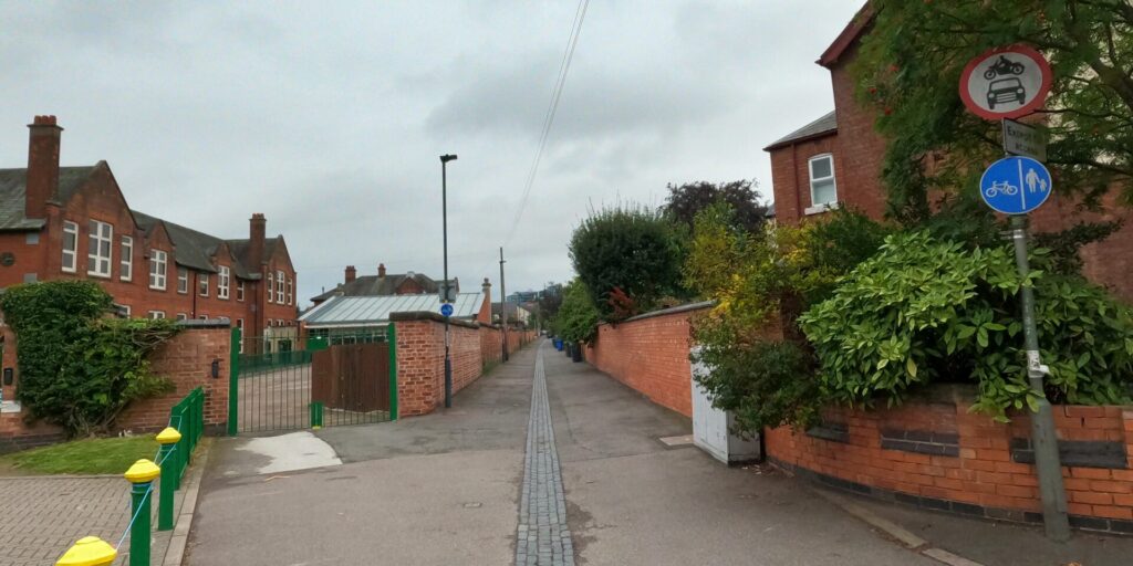
We entered the homely terraced streets of the West End. Cars parked on both sides of the streets, taking care of passing cars and people maneuvering in and out of parking spaces.
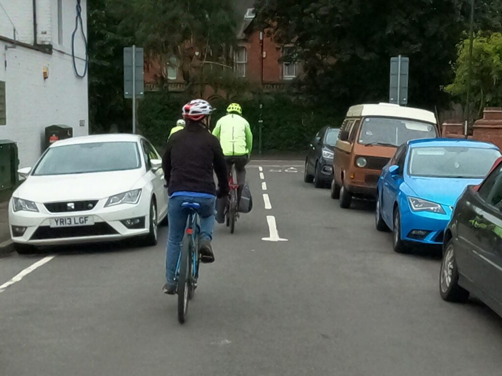
Joining Bromley Street and then onto Kedleston Road we rode mostly in single file along the advisory cycle lanes, ‘protected’ only by a painted dashed line on the road!
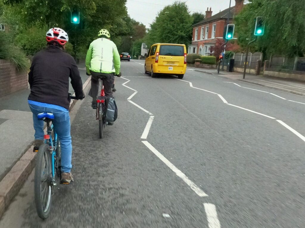
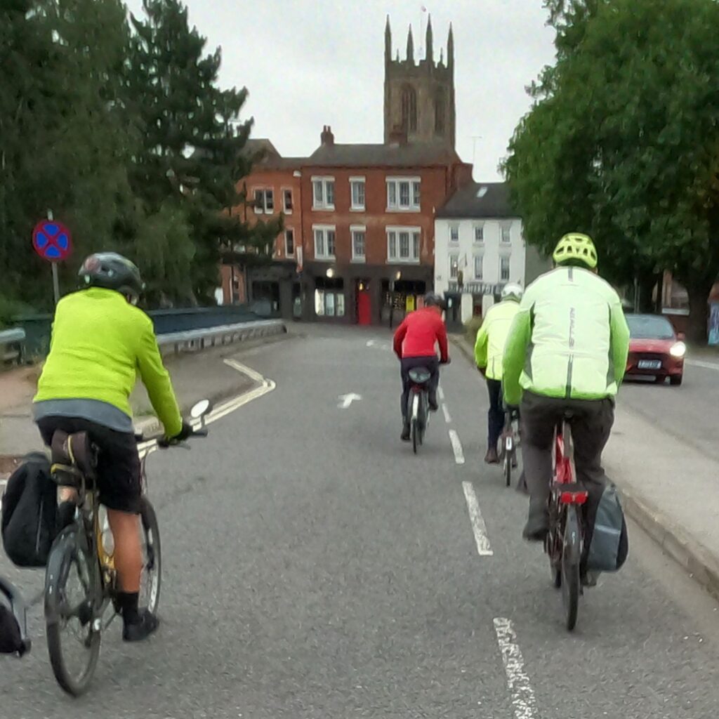
At the junction we took the right lane, as we needed to remain in the righthand lane to access the cycle lane on King Street which allowed us to use the bus lane to turn into Queen Street. A short ride across the Cornmarket brought us back to the Quad.
Points of interest
Some of the recommended routes included challenging gradients, clearly not suitable for novice riders.
The maintenance of the infrastructure has a major impact on the comfort of riders and their ability to ride safely on shared paths; rough, potholed and irregular surface conditions make riding unpleasant and overgrown vegetation impinging on the effective path width.
Numerous barriers at junctions and on paths deter many people from riding bicycles, especially those with non-standard cycles.
The interminable wait at controlled crossings and junctions encourages some people to take a risk when a small gap appears, greater priority should be given to encourage more people to try active travel.

