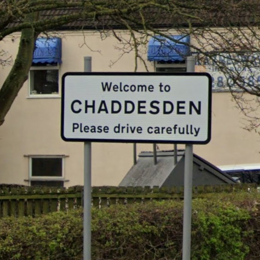
A small group of DCG members gathered on Thursday 24 August for another evening ride.
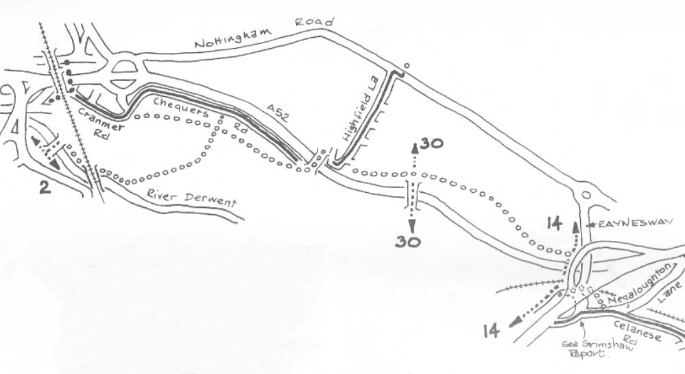
On this occasion we were heading east, initially beside the river then along the shared path by the Pentagon Island and onto Chequers Road cycleway.

A background to these rides can be found here:
1983 Tribute
The outbound route takes in substantial elements of the 1983 proposals which have become permanent sign-posted cycle ways.
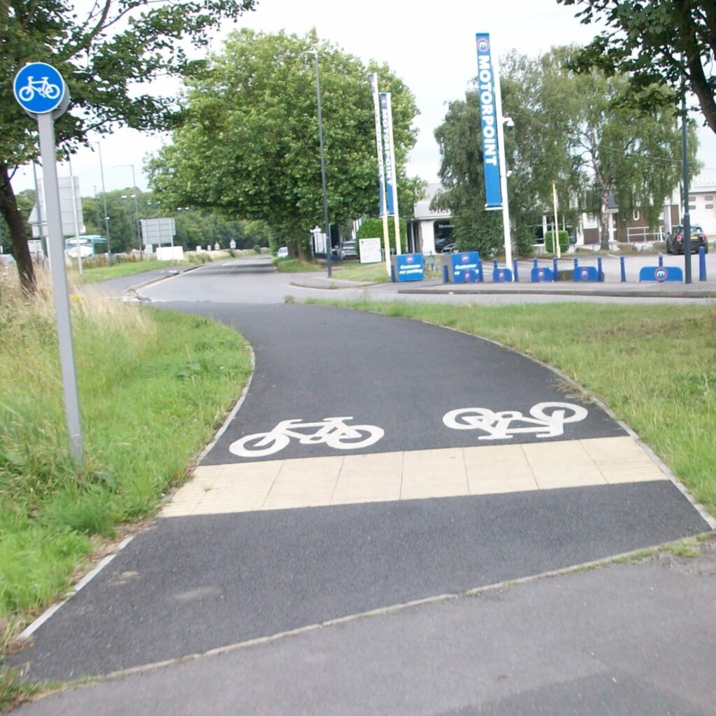
Rumble On
Although relatively new, part of the path alongside Chequers Road had an unpleasant irregular surface that undulates which makes riding a bike very uncomfortable. It appears half this section of route is hand-laid tarmac and the remainder machine laid (as it should be!).
Highfields Lane Bridge
We crossed over the A52 at the Highfield Bridge, a steep climb which necessitates selecting a low gear.

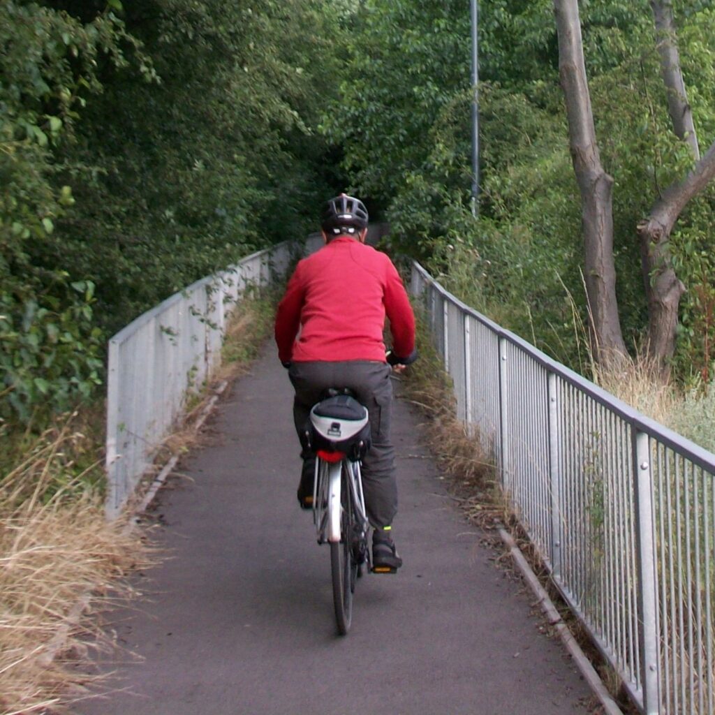
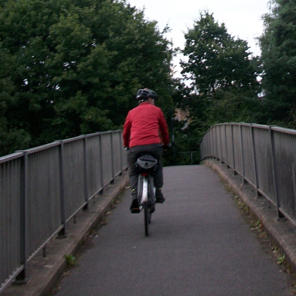
The Bridge is narrow, just permitting two bikes to pass. Intense traffic noise from vehicles below barraged the senses making conversation difficult.
A52 Caged Gauntlet
Descending onto the resurfaced shared path beside the A52, a crash
barrier and steel mesh fence separated us from speeding vehicles. Vegetation had already started to encroach from the hedge, brambles creeping across the path prepared to puncture the tyres of unwary riders.
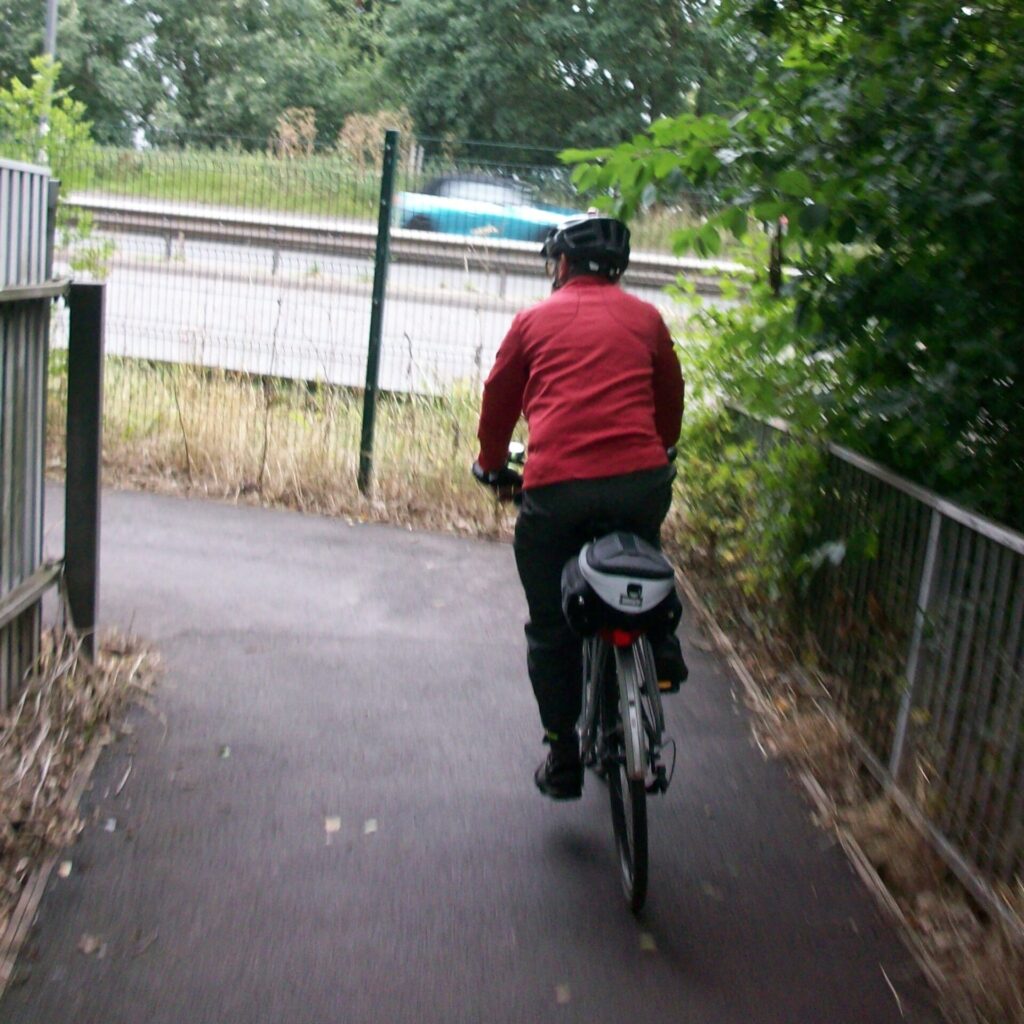
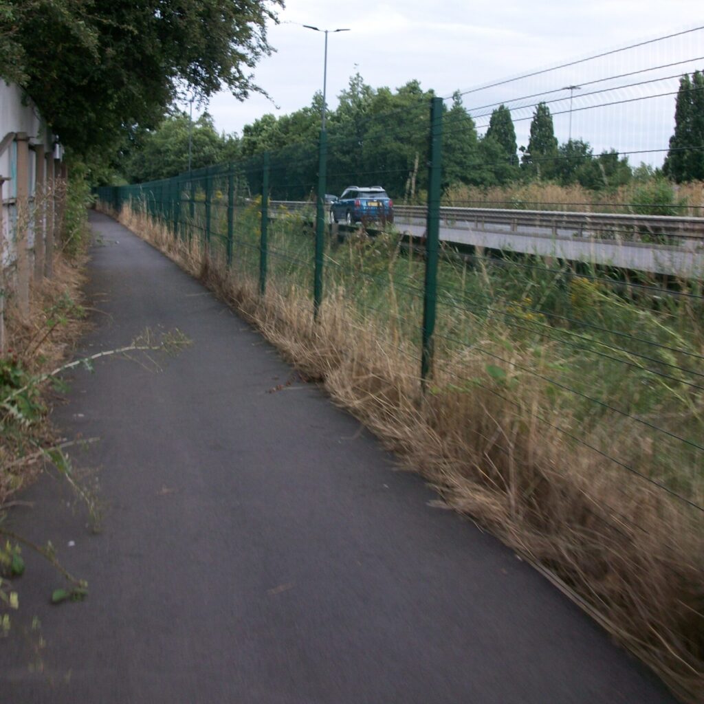

An unattractive route in the day and, no doubt, an intimidating place to venture after dark for vulnerable users.
The Gateway Bridge
We stopped at the ramp of the new shared bridge over the A52, the splendid steel arch structure spanned the full width of the carriageway. The ramp gradient being suitably gentle, riding up the slope in a low gear is relatively easy. At night the bridge is illuminated for users and coloured lighting highlight the arches. Unfortunately the infrastructure on the Wyvern side is disappointing, returning to busy roads, waiting interminably at ‘beg buttons’ to cross each leg of large busy roundabouts.
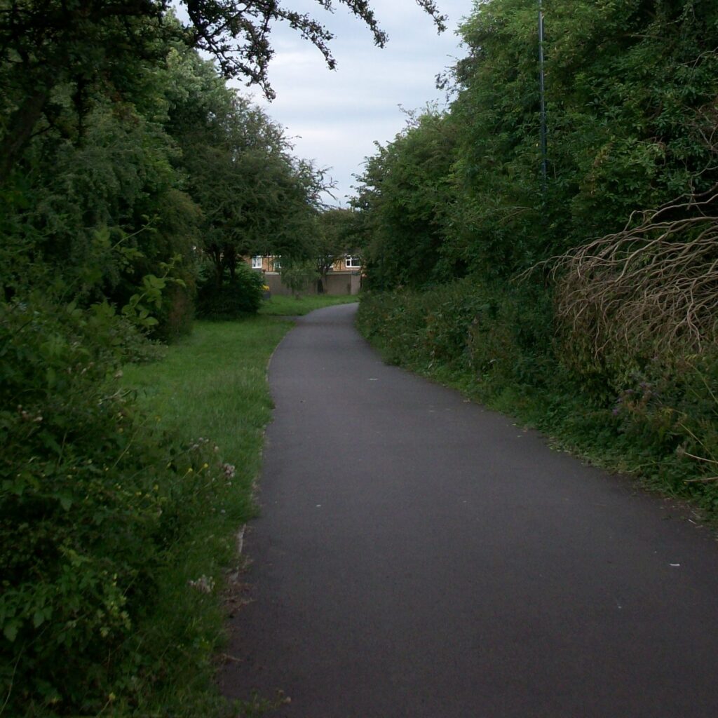
We continued east on a shared-use path separated from the A52 by a wide embankment and thick vegetation – much of which is encroaching onto the path.

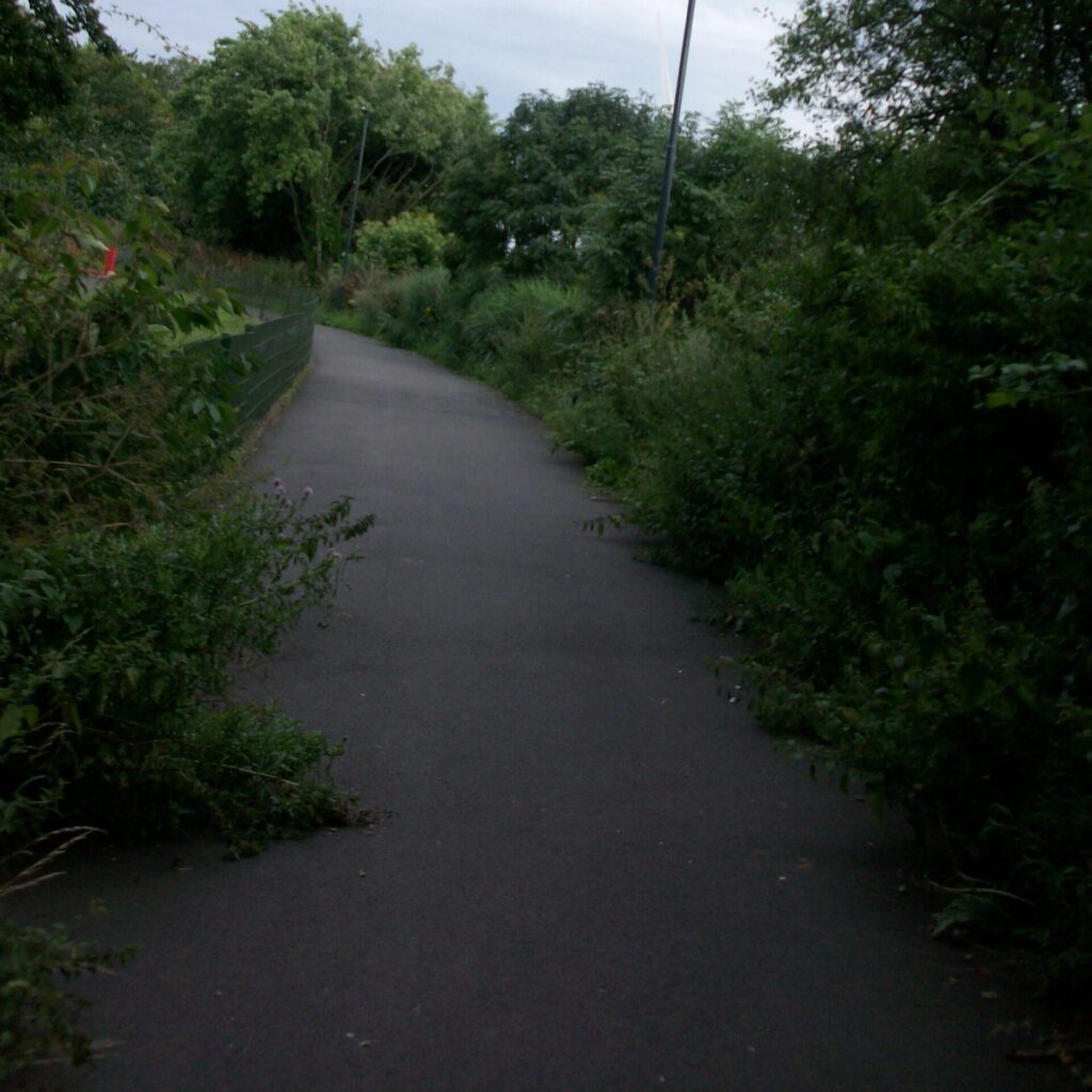
The easy way or Raynesway?
Continuing parallel to the A52 we came to a shared path beside Raynesway, taking a detour to the south, where we had view of Derby’s version of spaghetti junction, carriageways curving in great arcs under and over one another to disappearing behind trees. The path was narrow, fortunately mostly protected from speeding vehicles by an armco barrier.
The crossing has limited visibility of approaching traffic, especially when heading north (towards Asda) as large bushes obscure vehicles approaching at speed around the bend. Visibility could be improved by removal of the offending bushes but crossing the slip road where drivers intent on joining the A52 and not specifically looking for people crossing is potentially dangerous for all pedestrians and people on bikes.
That junction at Asda…
We retraced our steps to cross Raynesway at the shared controlled crossing, where a tree adjacent to the central reservation shrouds the view of vehicles approaching from the south. We rode around the shared path being particularly careful when crossing the busy
entrance to Asda. Traffic lights control vehicle movements while pedestrians and people on bikes take their chances waiting for a gap between cars or when the lights change.

Crossing the exit lanes can be dangerous as the left turning lane is not controlled by lights so cars continue exiting while right turning lane is held by the lights. The boundary hedges, adjacent to the shared path, have over grown the path reducing the effective path width to almost single file, making passing other users difficult.
Derby Cycling Group has provide the City Counicl with detailed feedback on the proposed improvement works for Derby Road Spondon
Slip off…
Around the corners we came to more A52 slip roads. Firstly we experienced restricted visibility along the exit slip road, making judging safe crossing space difficult.
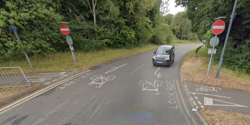
Slip on…
The challenge with the entry slip road is the speed of vehicles leaving the large roundabout, but also that vehicles frequently change lanes just before leaving the roundabout. Judging the route and speed of vehicles exiting the roundabout can be difficult, but misjudging a driver’s intention can put people into conflict with vehicles travelling at speed. The design of the roundabout and the exit slip encourage drivers to accelerate well above the defined speed limit.

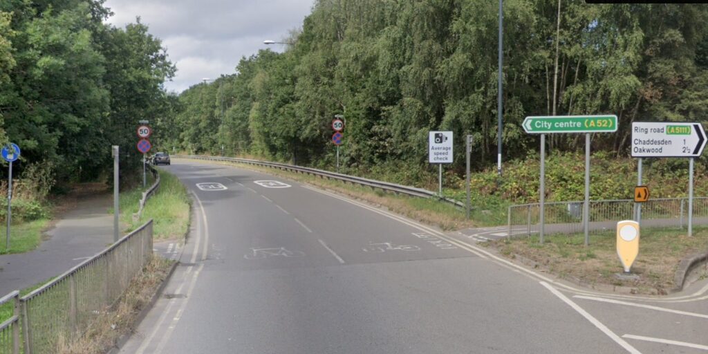
We returned to the Raynesway, Derby Road and Acorn Way roundabout where we faced crossing many lanes of evening traffic. At peak times a steady stream of vehicles, all eager to get to work or home, are difficult to cross. There are plans to install shared controlled crossings to assist pedestrians and people on bikes crossing these junctions. We followed the narrow shared path, parallel to Acorn Way, negotiating narrow alleys to emerge onto Oregon Way.

This shared path is a footway that has been designated as shared path, though not designed for the purpose but can serve a purpose to facilitate active travel. Arriving at part of route 66 to Spondon, a short shared path had chicane barriers at both ends and another barrier on the far side of Acorn Way, a challenge for many to negotiate with a bicycle. Signs indicated that bicycles should be pushed – a sign indicating it was a “wheeled route for cyclists”. All of these hurdles are set to deter people from
riding bicycles.
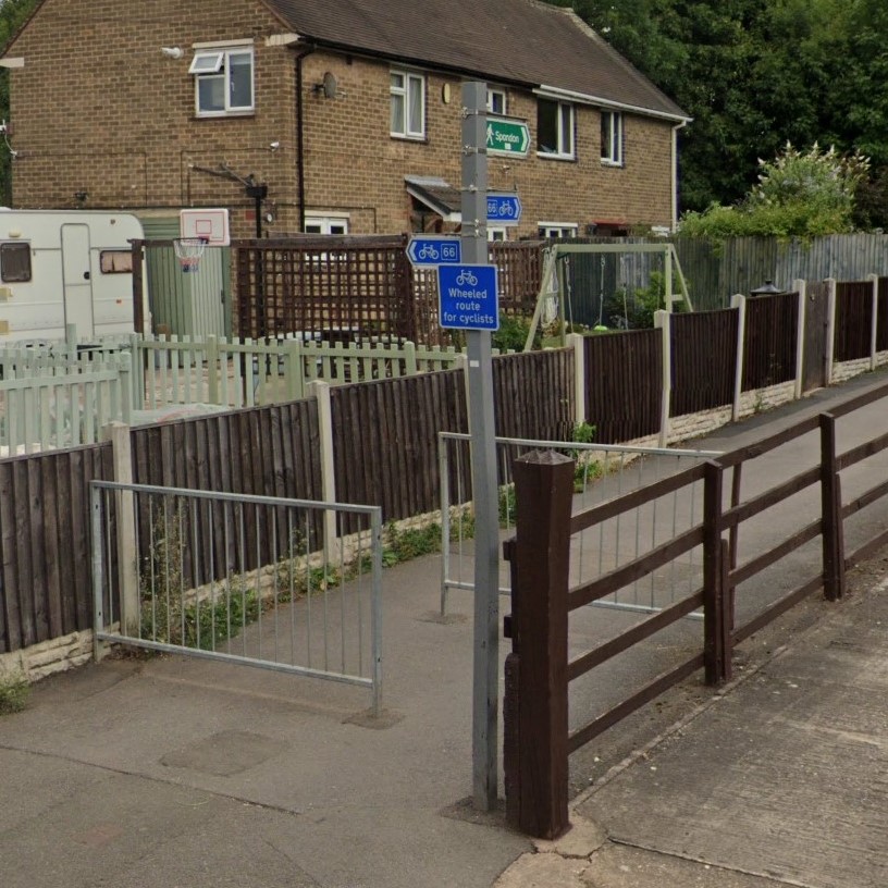
We followed Route 66 to Parkside Road then followed a yellow route to join Nottingham Road at the Sunny Grove junction. A segregated cycle lane is planned for Nottingham Road but in the meantime we cycled along an uneven surface of potholes and bumpy repairs.
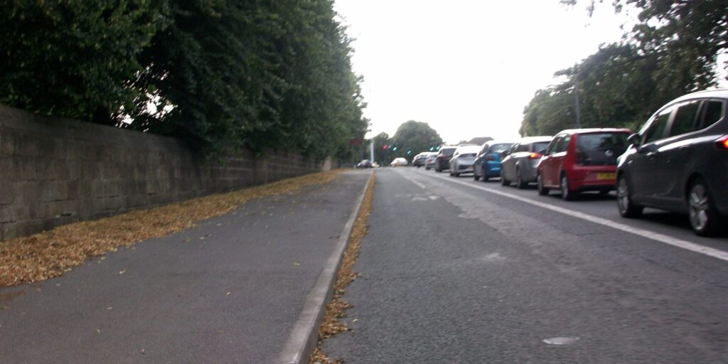
The only protection for people on bikes is the bus lane starting at the cemetery gates until the traffic lights at the junction with Chaddesden Park Road. Unfortunately the traffic lights do not appear to detect bicycles despite waiting for the full light sequence.
Onward and downwards
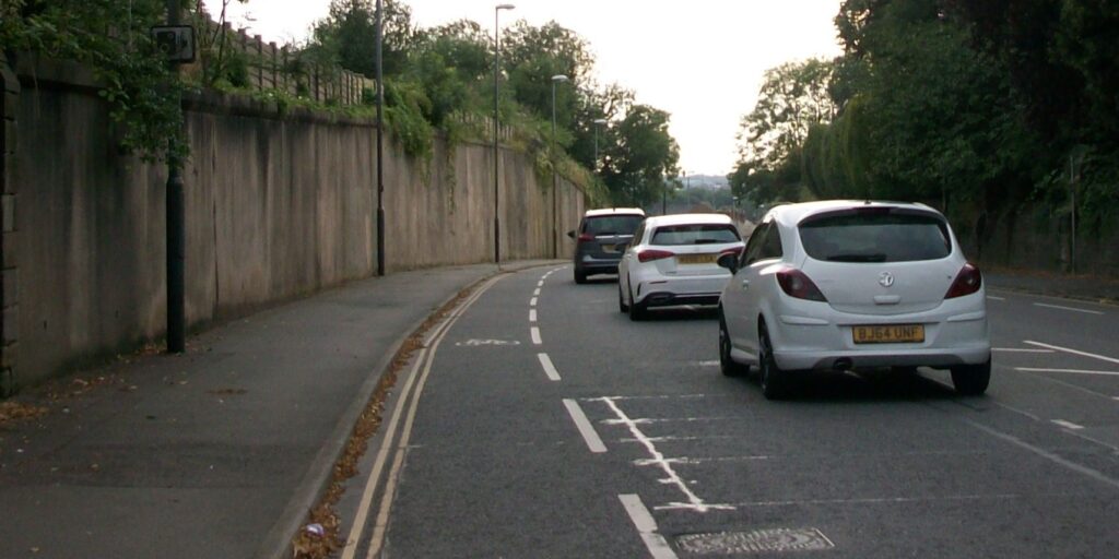
Onward down hill towards the Pentagon we rode along an advisory cycle lane, barely wide enough to avoid drains and potholes. This lane is uncomfortable as vehicles insist on passing while only just over the dashed line, not understanding that they are still expected
to give the 1.5 m distance to the rider, even in advisory cycle lanes. This section of advisory cycle lane will not be upgraded when the segregated paths are built, failing to provide a consistent cycle path to the city centre.
It’s not just Cricket
Crossing Nottingham Road we joined a shared path by the cricket ground and then crossed both lanes of the A61 at The Pentagon Island using the controlled crossing. These are decent long-established separate paths which, with a bit of TLC and some prioritised crossings over side roads, could be part of link between Pentagon Island and Chaddesden.
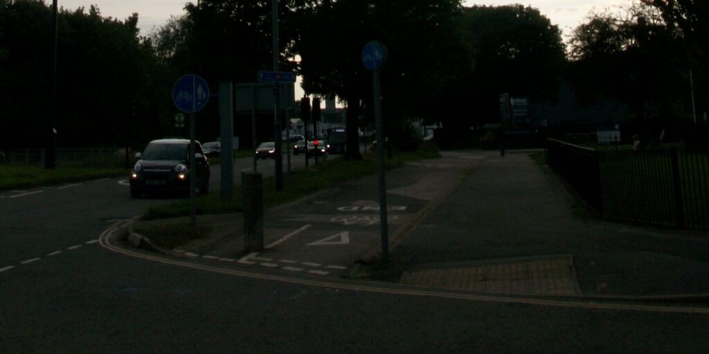
We rode along Nottingham Road under the railway line, the inner ring road and back to our stating point.
Summary
We had experienced a range of infrastructure with some excellent facilities while the general level of provision is, to be honest, rather poor and verging on the dangerous in places. Crossings are a point danger for all road users, especially pedestrians and people on bikes, when visibility of approaching traffic is paramount for judging safe spaces but also light controlled crossing must provide safe periods for all users to negotiate the space safely.
Barriers are a consistent problem for people on bikes but especially when using a trailer or non-standard cycle. Maintenance is an ongoing problem that faces people on bikes, rough and potholed road surfaces while overgrown vegetation impinges on the available space on paths, reducing to barely single file in many locations. The roads have been designed to ensure minimal inconvenience for those in cars which frequently put those on bikes in conflict with drivers.

