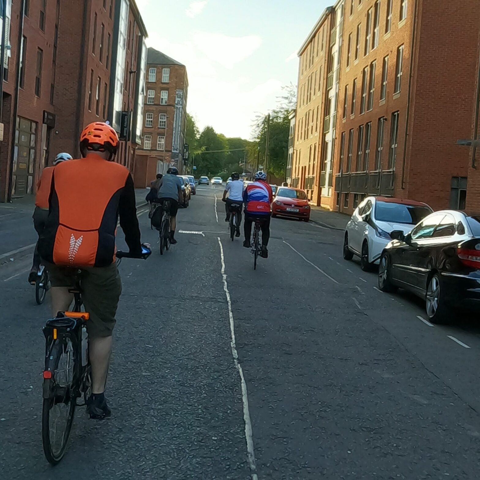
On the evening of August 17th, a group of DCG members gathered outside of The Quad on another hot Thursday evening.
A bit of background to these rides can be found here:
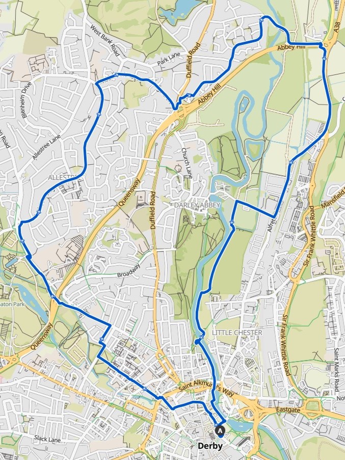
Our intended route took us through the West End towards Kedleston Road, up into Allestree and towards Little Eaton Island on the A38 and back into Derby on Route 54.
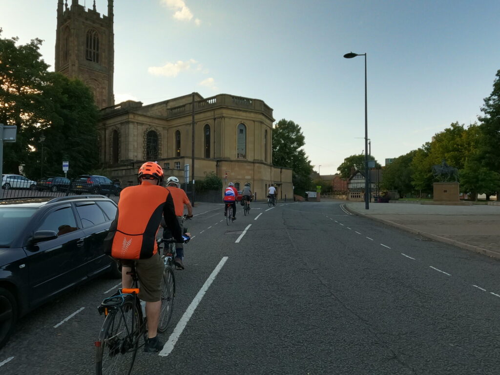
Full Street Contraflow
This time we rode out of the city centre along Full Street. Not the most comfortable as we rode contraflow to the one way vehicle traffic. The cycle infrastructure changes between shared pavements and contraflow cycle lane, which is somewhat disconcerting moving from the relative security of the pavement to facing oncoming vehicles with only a painted white line for protection.
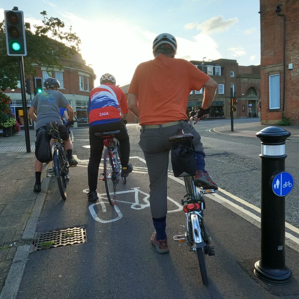
Cycle Lights
Crossing the traffic lights (exclusively for cycles) we rode down Cathedral Road to make a right turn on a sharp corner to enter Willow Row, a pedestrianised area. Crossing the inner ring road at a controlled crossing, involving two separately-controlled stages.
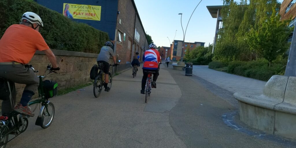
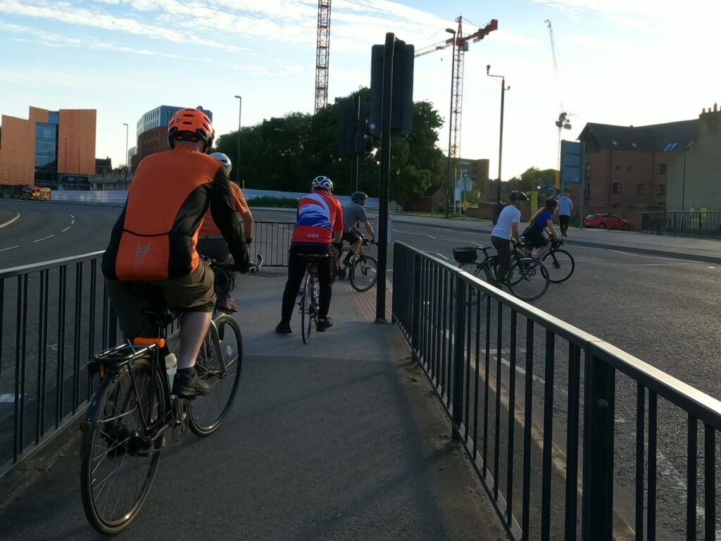
We continued along Brook Street before crossing Bridge Street where parked vehicles restricted visibility.
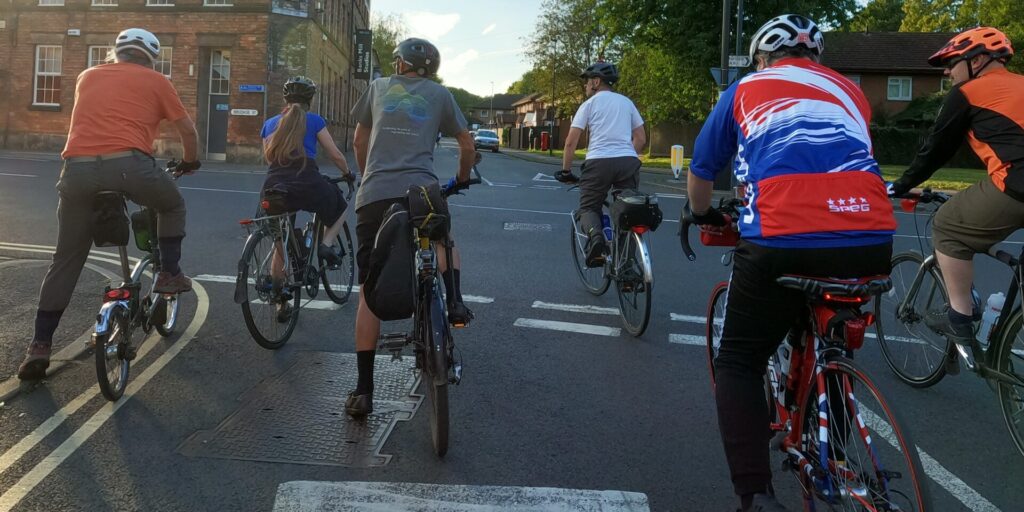
On a sharp left hand bend, with restricted visibility, we joined a pedestrianised area, where cycling is permitted which crosses through the West End estate and park.
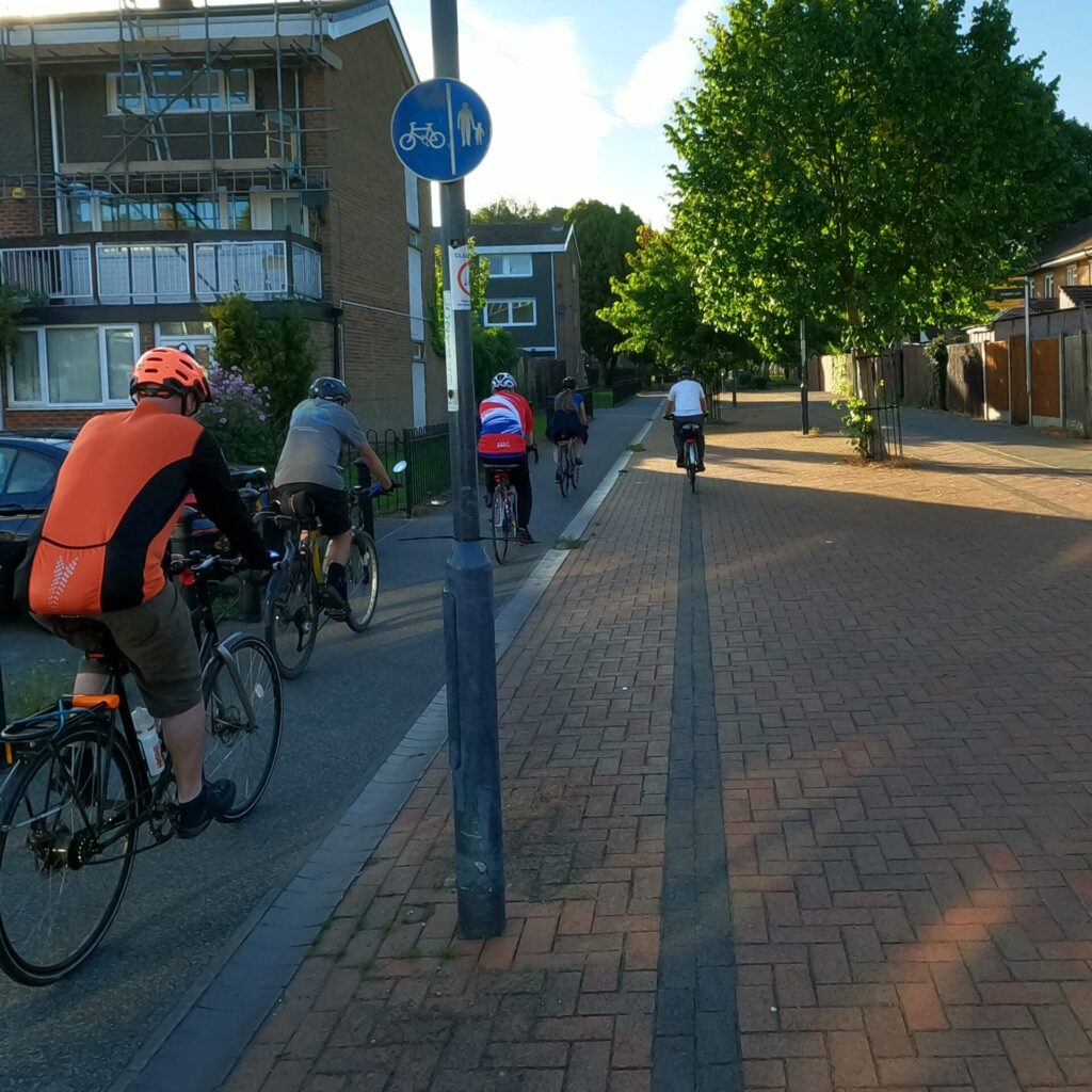
The route onto Mackworth Street is via a rough hard-pack surface which appears to be little more than a well-trodden desire line as the alternative is a set of stone steps.
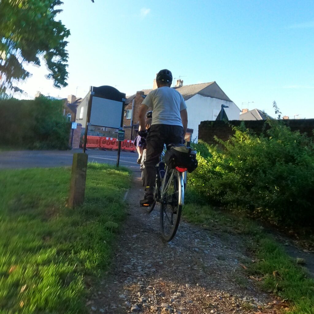
Chicken Run
We negotiated the narrow streets, cars parked both sides restricted space for vehicles and bicycles, when trying to pass – A game of chicken often ensues. The ‘yellow’ route took us along Redshaw Street, presumably as it is quieter than the adjacent Cowley Street, where speed bumps attempt to slow vehicles.
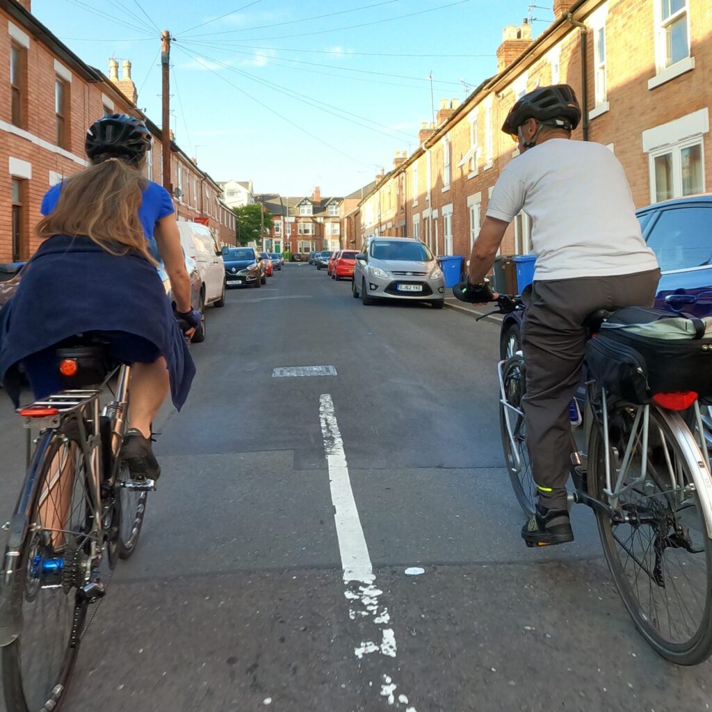
Joining Kedleston Road we face traffic moving at 30 mph and cars parked at the roadside, forcing us further into the road. The only plus point along here is that the road surface is very good.
A38 Crossing
We joined the shared path at the bus stop just past the Jonty Farmer. At the entry slip road for the A38 there is not controlled crossing, with two crossings care in needed to ensure that no cars are approaching either slip.
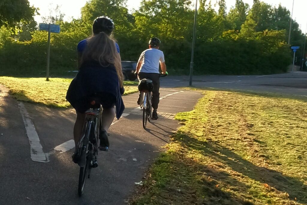
Over the A38 we were faced with the exit slip which has two controlled crossing, which seemed to operate in unison giving us just enough time to cross. With beg buttons in central island, slower moving pedestrians may find themselves stranded until the next change in lights.
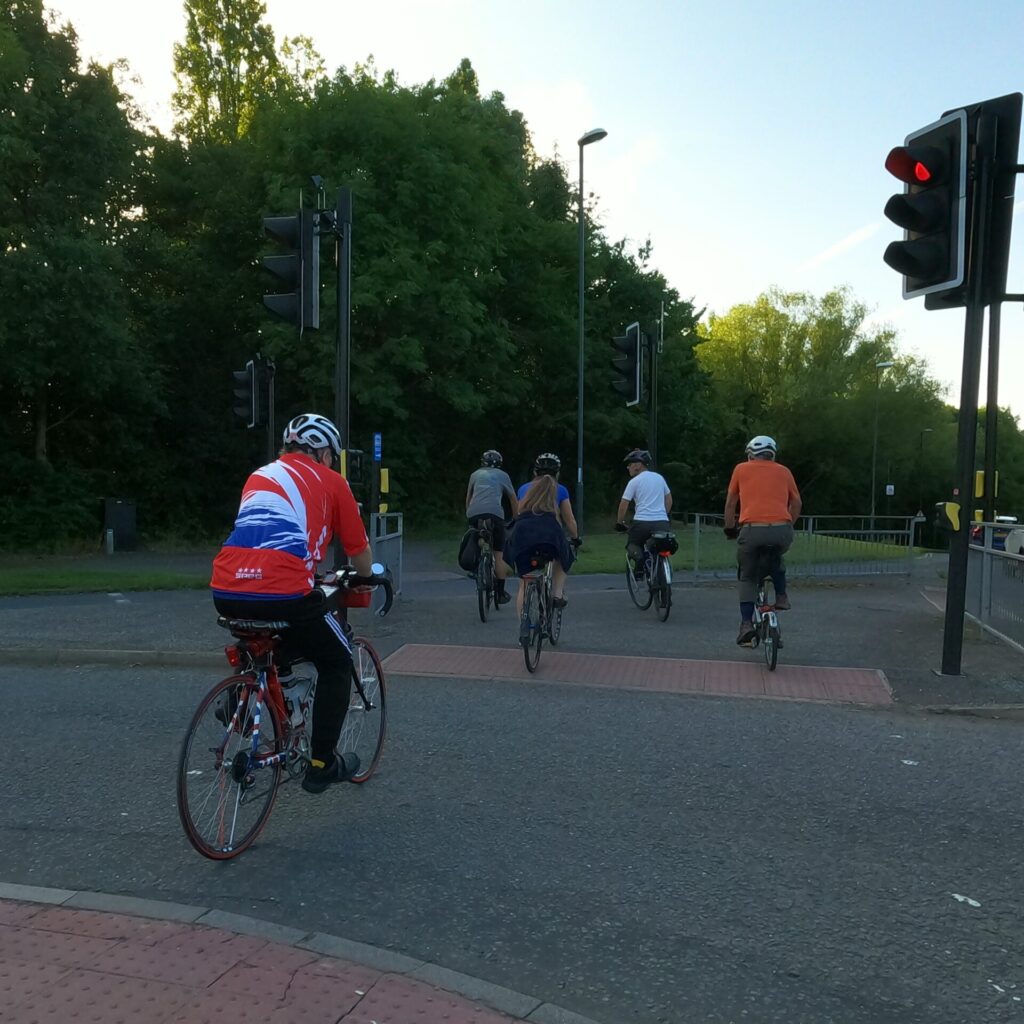
The multiple entry and exit lanes for the A38 and the associated crossings simply frustrate people on bikes into sticking to the road.
Where’s the path?
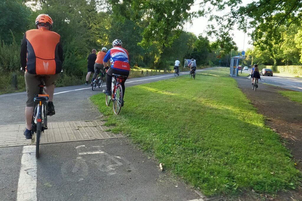
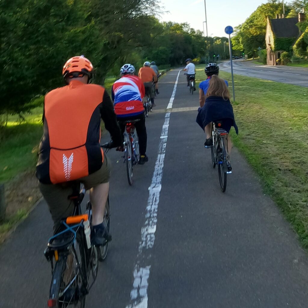
Riding along the shared path which could not decide whether it is shared or segregated. It’s irregular and abrupt changes in geometry caused confusion with two members taking to the grass verge while another headed for the bus stop!
Kedleston Crossing
We crossed Kedleston Road at another controlled crossing to join a concrete service road, a horrendously irregular surface and terrible for riding bikes along.
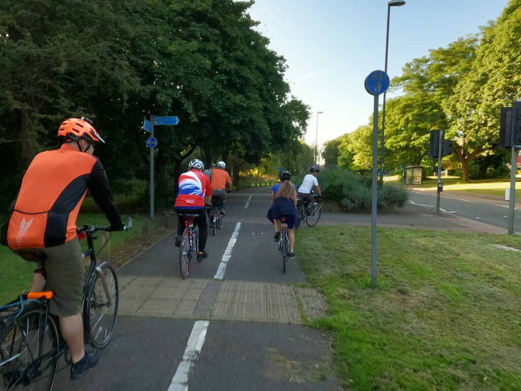

At the junction with Birchover Way, which heads into the Allestree estate, one member of the party opted to take Allestree Lane, a more gradual climb, while the remainder of us pedaled ever upwards.
The 1983 Proposal
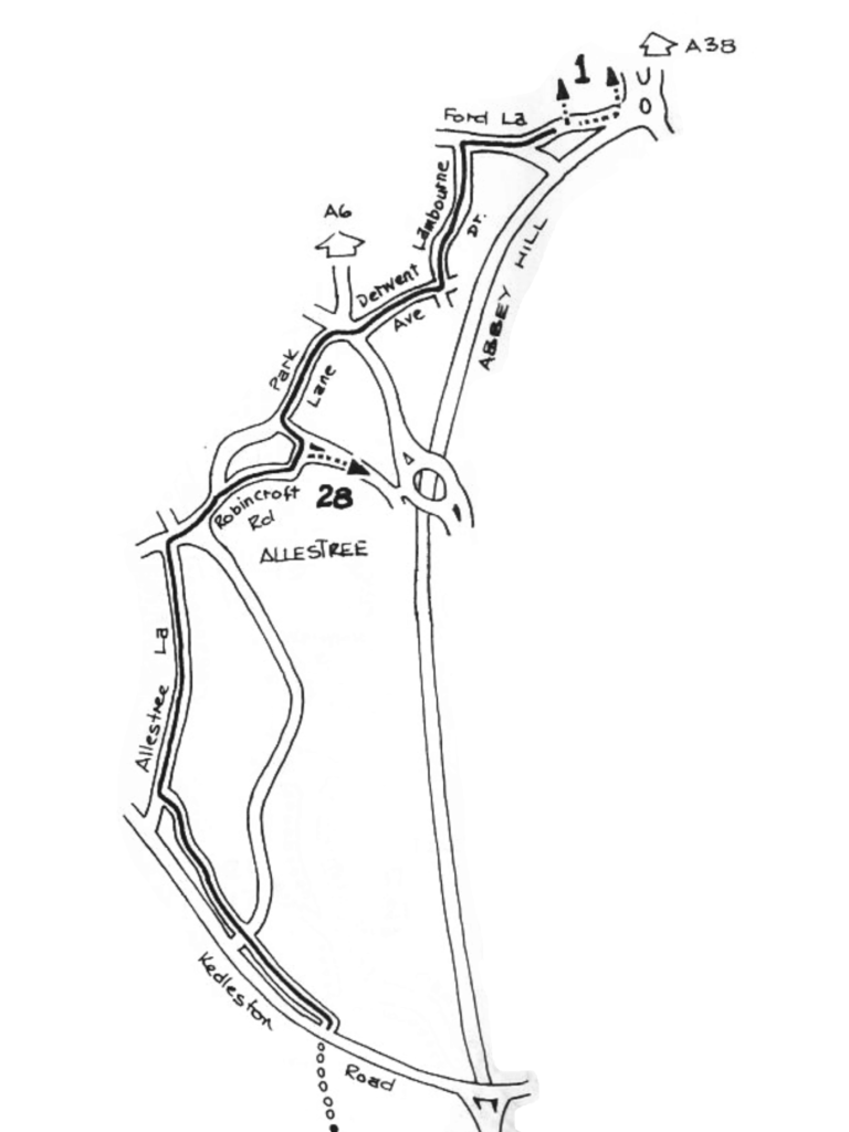
Interestingly, the reccommendations from the 1983 network of cycle routes shows Allestree Lane as the favoured route. Presumably Birchover Way was included to link Park Farm shopping centre with a cycle route.
Alpe de Birchover
A steady climb for reasonably fit riders, unfortunately reaching the summit is not the end. A quick descent into a dip before another climb to the junction with Robincroft Road. Turning into Robincroft Road we soon find the road narrowing between older terraced housing followed by parked cars restricting the road width to a single lane, with little room for vehicles to comfortably pass us.
Kings Croft descends between stone walls and a narrow pavement, the narrow road leaves limited space for cars desperate to overtake.
Dessert
At the Palm Court Island (not a tropical holiday resort sadly) we look at the road layout with some apprehension. Drivers approach the junctions concentrating on entering or leaving the roundabout, not looking for pedestrians and cyclists crossing the slip roads.
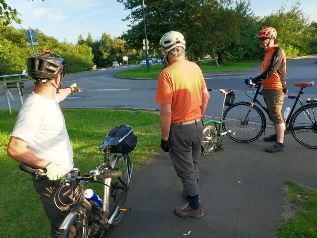
Martin, who had investigated alternative routes to Duffield Road, suggested using Devonshire Avenue and Cavendish Avenue to join Ferrers Way which crosses the A38 and joins Duffield Road, so avoiding the Palm Court Island and the fast moving vehicles exiting and accessing the A38. This route would add about 500 m to the journey across the island and along Duffield Road.
We slowly moved on along the pavement, to avoid traffic on the main road, negotiating the traffic at an uncontrolled crossing where the central reservation was just large enough for a bicycle.
We savoured the steady descent down Lambourn Drive and Ford Lane to cross the River Derwent. We joined the shared path beside the A38, merely an existing footway that has been re-designated as shared path, the path width of the railway bridge is very limited which may cause problems when encountering other users. Ford Lane is proposed to be stopped up as part of the A38 junctions scheme which may have some benefits for those on bike.
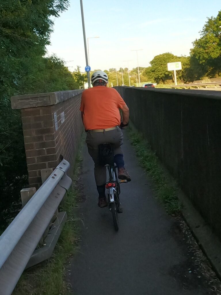
At the Little Eaton Roundabout we waited for the light to change while a terrifying number of vehicles drove past, despite being only just after 19.00. Just waiting for the lights to change is traumatic as cars and loaded HGV’s thunder past just inches from where we were standing.
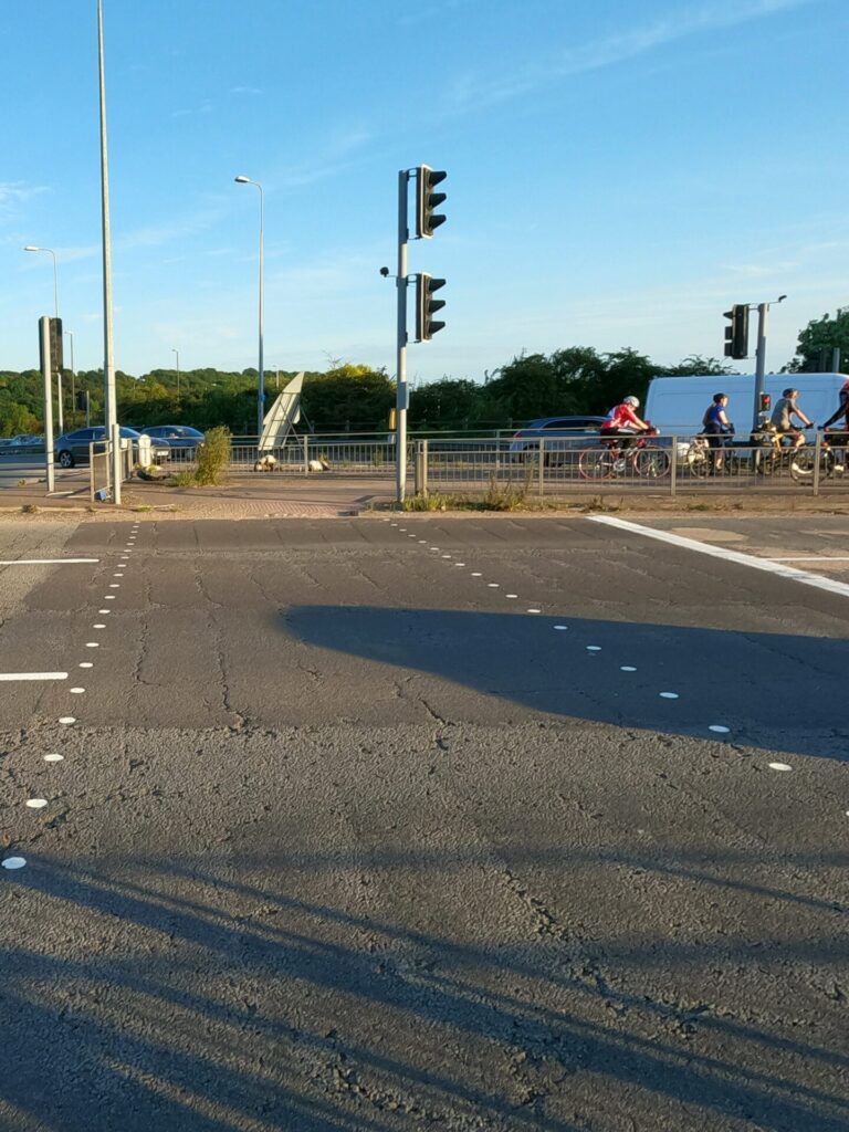
The previous day I had stood here, the lights had just changed to red, I hesitated moving from the central reservations as a large Mercedes saloon car accelerated away from the island, ignoring the red light, drove past at increasing speed. The driver potentially running down any unwary person trying to cross the carriageway under the protection of the red stop light.
The Derby Ledge
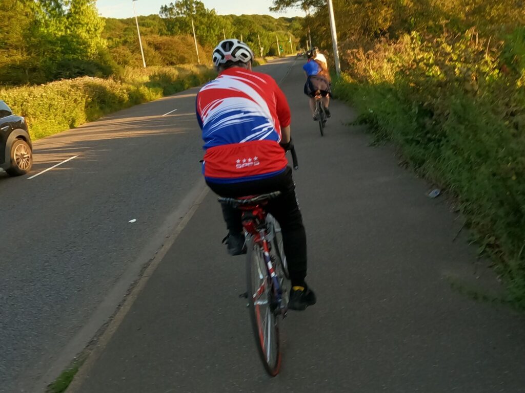
We continued along the A61 shared path, unfortunately the first part being only the width of a bike with overhanging vegetation which threatens to force unwary riders off their bikes and potentially into fast oncoming traffic. One of the group expressed grave concerns with the width of the pathway and danger of the overhanging vegetation.

After 350m we reached the upgraded section of shared path with greater width to accommodate passing cyclist and pedestrians.
Beemer Up!
At the Pektron roundabout, junction with Alfreton Road, Croft Lane and the A61, we are unceremoniously deposited onto Alfreton Road. This road is identified as ‘on road’ part of NCN 54, despite being designated at national speed limit (60 mph) with high volumes of traffic, a rough road surface and a narrow bridge.

Surprisingly it still retains status as part of the national cycle
network. After 500 m of national speed limit we entered a 30 mph, adjacent to an industrial site. Moving into the central turning lane then entered Haslams Lane, youths were training for the next Rugby match on the green field.
Green and pleasant lands
We followed the path through the park and along the riverside and returning to our starting location.
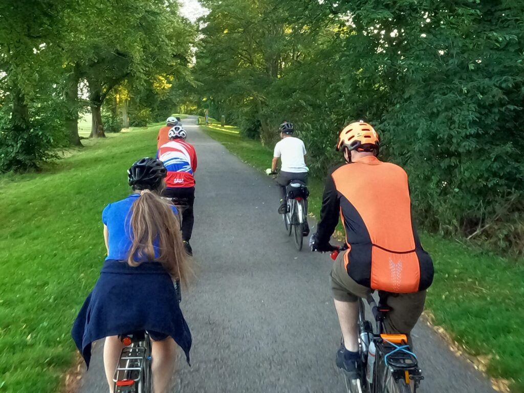
We had encountered numerous challenges for people on bikes during the ride; inconsistent infrastructure, cycle lane / paths ending at crucial locations, safe cycle routes adding unnecessary distance to the journey, yellow routes that are not the most cycle friendly (designed by drivers), overgrown vegetation reducing the width of cycle paths and causing riders concern of potential tangles / punctures, etc.

